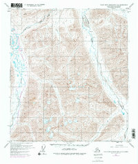
1971 Map of Philip Smith Mountains B-4
USGS Topo · Published 1977About this map
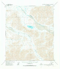
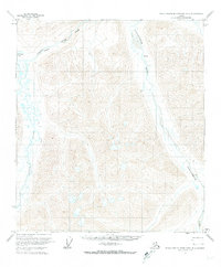
The Atigun River and the Sagavanirktok River dominate this portion of the Philip Smith Mountains, providing a look at industrial expansion in the North Slope during the 1970s. A primary point of interest is the inclusion of The Trans-Alaska Pipeline (Under Construction), shown alongside a related Pumping Station as it was being carved through the Arctic landscape. The river corridors dictate the movement through this high-latitude terrain, with the Atigun passing near Galbraith Lake and through a distinctive Gorge in the north. The survey reflects a transitional moment for the region, where traditional topography meets massive energy infrastructure. Purple revisions from 1975 aerial photography highlight changes made just before the final publication, documenting the rapidly evolving footprint of the pipeline corridor.
Find a feature on this map
7 named features on this map. Tap any name to fly to it.
Don’t see what you’re looking for? This feature index may not catch every label — zoom into the map to look around manually.
Map Details
Editions of this 1971 Philip Smith Mountains B-4 Map
2 editions found
Other maps of this area

1951 · Brooks
USGS Topo · 1:250,000

1956 · Philip Smith Mountains
USGS Topo · 1:250,000

1964 · Philip Smith Mountains
USGS Topo · 1:250,000
1971 · Philip Smith Mountains A-5
USGS Topo · 1:63,360
1971 · Philip Smith Mountains A-4
USGS Topo · 1:63,360

1971 · Philip Smith Mountains C-4
USGS Topo · 1:63,360
1971 · Philip Smith Mountains B-5
USGS Topo · 1:63,360
1971 · Philip Smith Mountains C-3
USGS Topo · 1:63,360

1971 · Philip Smith Mountains B-3
USGS Topo · 1:63,360
1971 · Philip Smith Mountains B-4
USGS Topo · 1:63,360