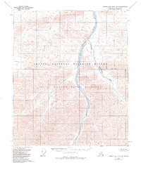
1956 Map of Demarcation Point B-4
USGS Topo · Published 1984About this map
Arctic National Wildlife Refuge dominates this terrain on the North Slope, where the drainage systems of the Aichilik River and Okerokovik River carve through high-altitude topography. This mid-century data, later revised to reflect the established Arctic Wildlife Refuge Wilderness, documents a landscape without roads or permanent settlements. The eastern portion of the sheet is defined by the Leffingwell Fork, which joins the main Aichilik channel amidst complex contour lines. This survey captures the remote character of the Brooks Range foothills before modern environmental designations were fully integrated into the cartographic record, showing the pure hydrology and relief of the Alaskan arctic. The presence of the Base Line crossing the center of the quadrangle highlights the systematic effort to survey these unsurveyed and unmarked lands predetermined by the Bureau of Land Management.
Find a feature on this map
6 named features on this map. Tap any name to fly to it.
Don’t see what you’re looking for? This feature index may not catch every label — zoom into the map to look around manually.
Map Details
Editions of this 1956 Demarcation Point B-4 Map
2 editions found
Other maps of this area

1951 · Demarcation Point
USGS Topo · 1:250,000

1955 · Demarcation Point
USGS Topo · 1:250,000

1955 · Demarcation Point C-5
USGS Topo · 1:63,360

1955 · Demarcation Point C-4
USGS Topo · 1:63,360

1955 · Demarcation Point C-3
USGS Topo · 1:63,360
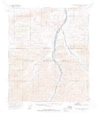
1956 · Demarcation Point B-4
USGS Topo · 1:63,360

1956 · Demarcation Point B-5
USGS Topo · 1:63,360
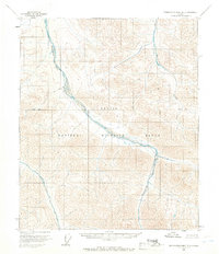
1956 · Demarcation Point B-3
USGS Topo · 1:63,360

1964 · Demarcation Point
USGS Topo · 1:250,000
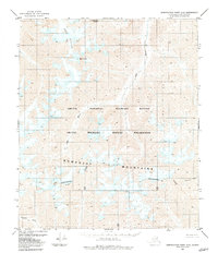
1983 · Demarcation Point A-5
USGS Topo · 1:63,360