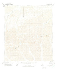
1971 Map of Arctic C-5
USGS Topo · Published 1975About this map
The Continental Divide traverses this remote portion of the Brooks Range, serving as the primary hydrological boundary for the North Slope. Surveyed by the U.S. Geological Survey using 1970 aerial photography, the landscape is defined by the headwaters of major arctic drainage systems. The Ivishak River carves through the northwestern terrain, while the Marsh Fork Canning River occupies the eastern valleys. This map captures a pristine wilderness before significant modern infrastructure reached these high latitudes, showing a complex network of unnamed ridges and drainages that feed into the Arctic Ocean. The lack of established trails or roads underscores the isolation of this terrain during the early 1970s, making it a critical record for understanding the natural topography of the Alaskan interior prior to later developments.
Find a feature on this map
3 named features on this map. Tap any name to fly to it.
Don’t see what you’re looking for? This feature index may not catch every label — zoom into the map to look around manually.
Map Details
Editions of this 1971 Arctic C-5 Map
2 editions found
Other maps of this area

1951 · Brooks
USGS Topo · 1:250,000

1951 · Arctic
USGS Topo · 1:250,000

1956 · Arctic
USGS Topo · 1:250,000

1956 · Philip Smith Mountains
USGS Topo · 1:250,000

1964 · Philip Smith Mountains
USGS Topo · 1:250,000
1971 · Arctic D-5
USGS Topo · 1:63,360
1971 · Philip Smith Mountains C-1
USGS Topo · 1:63,360
1971 · Philip Smith Mountains B-1
USGS Topo · 1:63,360
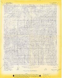
1971 · Arctic C-5
USGS Topo · 1:63,360
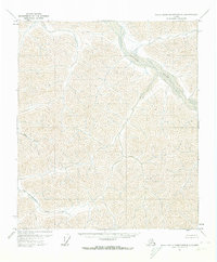
1971 · Philip Smith Mountains D-1
USGS Topo · 1:63,360