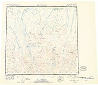
1951 Map of Mt. Michelson
USGS Topo · Published 1956About this map
Mt Michelson stands as the centerpiece of this Arctic landscape, surrounded by the high peaks of the Romanzof Mountains, Franklin Mountains, and the Sadlerochit Mountains. This reconnaissance survey from the early 1950s documents the complex drainage systems of the North Slope, where the Canning River and Hulahula River flow northward toward Camden Bay. The map captures a moment when the region remained largely untouched by permanent development, showing only a lone Cabin near the coast and the strategic Collinson Pt. Notable landmarks such as Lake Schrader and Lake Peters are clearly delineated at the base of the mountains, while interior details like Shubelik Spring and Sunset Pass provide insight into the natural navigation routes used by early expeditions through the Shubelik Mountains.
Find a feature on this map
40 named features on this map. Tap any name to fly to it.
Don’t see what you’re looking for? This feature index may not catch every label — zoom into the map to look around manually.
Map Details
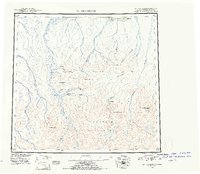
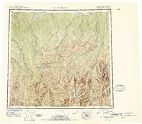
Editions of this 1951 Mt. Michelson Map
4 editions found
Other maps of this area

1951 · Beechey Point
USGS Topo · 1:250,000

1951 · Barter Island
USGS Topo · 1:250,000

1951 · Sagavanirktok D-5
USGS Topo · 1:250,000

1951 · Demarcation Point
USGS Topo · 1:250,000

1951 · Brooks
USGS Topo · 1:250,000

1951 · Arctic
USGS Topo · 1:250,000

1951 · Table Mountain
USGS Topo · 1:250,000

1951 · Mt. Michelson
USGS Topo · 1:250,000

1955 · Flaxman Island
USGS Topo · 1:250,000

1955 · Demarcation Point
USGS Topo · 1:250,000