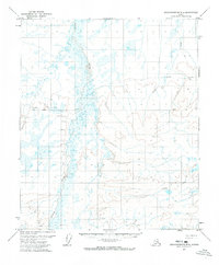
1971 Map of Sagavanirktok B-4
USGS Topo · Published 1973About this map
Toolik River winds through this North Slope landscape, providing a primary hydrological corridor in a region defined by extensive marshland and seasonal waterways. Surveyed in the early 1970s using photogrammetric methods from aerial photographs, the map documents the area during a critical era of arctic exploration and infrastructure planning. The terrain is notably marked by a Winter Road and various segments of a Winter Trail, reflecting the specialized transportation networks required to navigate this environment before permanent road systems were fully established. These seasonal routes were essential for movement across the tundra when the ground was frozen, connecting remote survey points and potential resource areas. The presence of the Base Line survey boundary further illustrates the systematic effort by the Department of the Interior to organize and map this part of the Alaskan wilderness for administrative and geological study.
Find a feature on this map
4 named features on this map. Tap any name to fly to it.
Don’t see what you’re looking for? This feature index may not catch every label — zoom into the map to look around manually.
Map Details
Editions of this 1971 Sagavanirktok B-4 Map
This is the sole edition of this map. No revisions or reprints were ever made.
Other maps of this area

1951 · Sagavanirktok D-5
USGS Topo · 1:250,000

1956 · Sagavanirktok
USGS Topo · 1:250,000

1958 · Sagavanirktok
USGS Topo · 1:250,000

1964 · Sagavanirktok
USGS Topo · 1:250,000
1971 · Sagavanirktok C-3
USGS Topo · 1:63,360
1971 · Sagavanirktok B-3
USGS Topo · 1:63,360
1971 · Sagavanirktok A-3
USGS Topo · 1:63,360
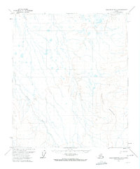
1971 · Sagavanirktok A-5
USGS Topo · 1:63,360
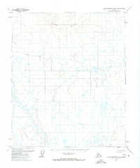
1971 · Sagavanirktok B-5
USGS Topo · 1:63,360
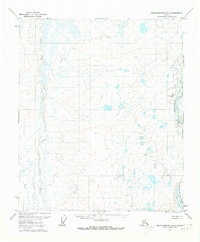
1971 · Sagavanirktok A-4
USGS Topo · 1:63,360