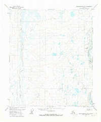
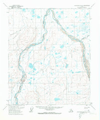
1971 Map of Sagavanirktok A-4
USGS Topo · Published 1973About this map
Sagavanirktok River dominates the eastern drainage of this North Slope landscape, captured here in the early 1970s as the region's industrial infrastructure began to take shape. The map highlights Happy Valley Camp, a localized center of activity supported by a Landing Strip and a seasonal Winter Road that provided a critical transportation link through this remote sub-Arctic environment. To the west, the Toolik River snakes through the tundra, illustrating the complex hydrology of the Arctic coastal plain. The presence of these specific logistics and transit markers alongside undeveloped land lines, predetermined by the Bureau of Land Management, reflects a specific era of exploration and survey prior to more permanent development in northern Alaska.
Find a feature on this map
5 named features on this map. Tap any name to fly to it.
Don’t see what you’re looking for? This feature index may not catch every label — zoom into the map to look around manually.
Map Details
Editions of this 1971 Sagavanirktok A-4 Map
2 editions found
Other maps of this area

1951 · Sagavanirktok D-5
USGS Topo · 1:250,000

1951 · Brooks
USGS Topo · 1:250,000

1956 · Philip Smith Mountains
USGS Topo · 1:250,000

1956 · Sagavanirktok
USGS Topo · 1:250,000

1958 · Sagavanirktok
USGS Topo · 1:250,000

1964 · Philip Smith Mountains
USGS Topo · 1:250,000

1964 · Sagavanirktok
USGS Topo · 1:250,000
1971 · Sagavanirktok B-4
USGS Topo · 1:63,360
1971 · Philip Smith Mountains D-3
USGS Topo · 1:63,360
1971 · Sagavanirktok B-3
USGS Topo · 1:63,360