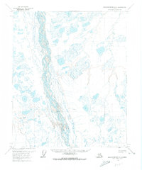
1971 Map of Sagavanirktok C-3
USGS Topo · Published 1973About this map
The Sagavanirktok River braids across this 1971 North Slope landscape, illustrating the complex hydrology of the Alaskan arctic before extensive infrastructure development. This survey, compiled from 1970 aerial photography, captures the region at a pivotal moment in the state's energy history. A single Sag River Oil Well stands as a sentinel of early exploration in the vast wetlands and tundra. The terrain is traversed only by a Winter Road and a Winter Trail, seasonal routes that reflect the extreme environmental constraints of the territory. These temporary transportation corridors and the isolated well site document the transition from a remote wilderness to an active petroleum frontier during the early 1970s.
Find a feature on this map
4 named features on this map. Tap any name to fly to it.
Don’t see what you’re looking for? This feature index may not catch every label — zoom into the map to look around manually.
Map Details
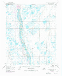
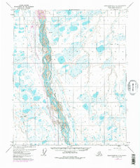
Editions of this 1971 Sagavanirktok C-3 Map
3 editions found
Other maps of this area

1951 · Sagavanirktok D-5
USGS Topo · 1:250,000

1955 · Sagavanirktok D-3
USGS Topo · 1:63,360
1955 · Sagavanirktok D-2
USGS Topo · 1:63,360

1955 · Sagavanirktok D-4
USGS Topo · 1:63,360

1956 · Sagavanirktok
USGS Topo · 1:250,000

1958 · Sagavanirktok
USGS Topo · 1:250,000

1964 · Sagavanirktok
USGS Topo · 1:250,000
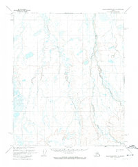
1971 · Sagavanirktok C-2
USGS Topo · 1:63,360
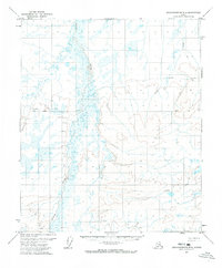
1971 · Sagavanirktok B-4
USGS Topo · 1:63,360
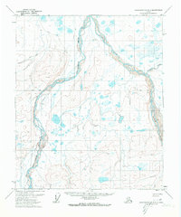
1971 · Sagavanirktok B-3
USGS Topo · 1:63,360