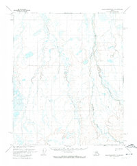
1971 Map of Sagavanirktok C-2
USGS Topo · Published 1973About this map
Kadleroshilik River and the Shaviovik River carve through this North Slope landscape, illustrating the remote hydrological patterns of the Alaskan arctic in the early 1970s. The terrain is defined by complex drainage systems and thaw lakes, typical of the permafrost-underlain coastal plain. A prominent Winter Trail meanders across the central tundra, serving as a vital historical transportation corridor during the frozen months when the marshy ground becomes passable for heavy equipment. This transient infrastructure, alongside features like Juniper Creek, highlights the seasonal nature of movement in a region where permanent roads were virtually non-existent during this era of early petroleum exploration.
Find a feature on this map
4 named features on this map. Tap any name to fly to it.
Don’t see what you’re looking for? This feature index may not catch every label — zoom into the map to look around manually.
Map Details
Editions of this 1971 Sagavanirktok C-2 Map
This is the sole edition of this map. No revisions or reprints were ever made.
Other maps of this area

1951 · Sagavanirktok D-5
USGS Topo · 1:250,000

1955 · Sagavanirktok D-3
USGS Topo · 1:63,360
1955 · Sagavanirktok D-2
USGS Topo · 1:63,360
1955 · Sagavanirktok C-1
USGS Topo · 1:63,360
1955 · Sagavanirktok D-1
USGS Topo · 1:63,360

1956 · Sagavanirktok
USGS Topo · 1:250,000

1958 · Sagavanirktok
USGS Topo · 1:250,000

1964 · Sagavanirktok
USGS Topo · 1:250,000
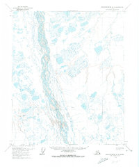
1971 · Sagavanirktok C-3
USGS Topo · 1:63,360
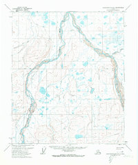
1971 · Sagavanirktok B-3
USGS Topo · 1:63,360