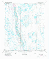
1971 Map of Sagavanirktok C-3
USGS Topo · Published 1977About this map
The Sagavanirktok River dominates this mid-1970s landscape, its braided channels weaving through a complex network of wetlands and small lakes on the North Slope. This specific survey documents a pivotal moment in Alaskas industrial history as The Trans-Alaska Pipeline (under construction) is shown paralleling the river corridor. The map reveals the logistical infrastructure required for Arctic resource extraction, including the Susie Oil Well and various Landing Strips that supported early exploration. Transportation across this remote terrain relied on seasonal pathways like the Winter Road and Winter Trail, reflecting the geographic challenges of the era. Geographic markers such as Beaver and Nora provide localized points of reference amidst the vast hydrologic patterns of the coastal plain.
Find a feature on this map
9 named features on this map. Tap any name to fly to it.
Don’t see what you’re looking for? This feature index may not catch every label — zoom into the map to look around manually.
Map Details
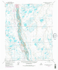
Editions of this 1971 Sagavanirktok C-3 Map
3 editions found
Other maps of this area

1951 · Sagavanirktok D-5
USGS Topo · 1:250,000

1955 · Sagavanirktok D-3
USGS Topo · 1:63,360
1955 · Sagavanirktok D-2
USGS Topo · 1:63,360

1955 · Sagavanirktok D-4
USGS Topo · 1:63,360

1956 · Sagavanirktok
USGS Topo · 1:250,000

1958 · Sagavanirktok
USGS Topo · 1:250,000

1964 · Sagavanirktok
USGS Topo · 1:250,000
1971 · Sagavanirktok C-2
USGS Topo · 1:63,360
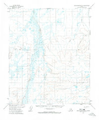
1971 · Sagavanirktok B-4
USGS Topo · 1:63,360
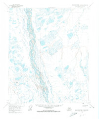
1971 · Sagavanirktok C-3
USGS Topo · 1:63,360