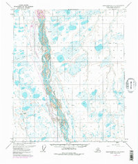
1971 Map of Sagavanirktok C-3
USGS Topo · Published 1977About this map
The Sagavanirktok River dominates this Arctic landscape, its braided channels and gravel bars carving a wide path through the North Slope tundra. Mapped during the early 1970s, this survey documents the critical infrastructure of the Alaskan oil boom, most notably the route of the Trans-Alaska Pipeline running parallel to the river. This industrial corridor is further marked by the Susie Oil Well and a nearby Landing Strip, illustrating the isolated, air-dependent nature of resource extraction in this environment.
Find a feature on this map
8 named features on this map. Tap any name to fly to it.
Don’t see what you’re looking for? This feature index may not catch every label — zoom into the map to look around manually.
Map Details
Editions of this 1971 Sagavanirktok C-3 Map
3 editions found
Other maps of this area

1951 · Sagavanirktok D-5
USGS Topo · 1:250,000

1955 · Sagavanirktok D-3
USGS Topo · 1:63,360
1955 · Sagavanirktok D-2
USGS Topo · 1:63,360

1955 · Sagavanirktok D-4
USGS Topo · 1:63,360

1956 · Sagavanirktok
USGS Topo · 1:250,000

1958 · Sagavanirktok
USGS Topo · 1:250,000

1964 · Sagavanirktok
USGS Topo · 1:250,000
1971 · Sagavanirktok C-2
USGS Topo · 1:63,360
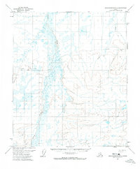
1971 · Sagavanirktok B-4
USGS Topo · 1:63,360
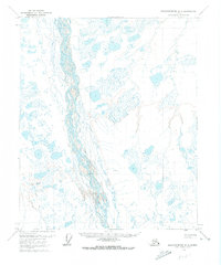
1971 · Sagavanirktok C-3
USGS Topo · 1:63,360