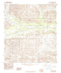
1983 Map of Arctic B-4
USGS Topo · Published 1986About this map
Arctic National Wildlife Refuge lands dominate this interior Alaskan landscape, surveyed in the early 1980s based on aerial photography from 1972. The terrain is defined by the wandering course of the Junjik River, which carves through a region of complex relief and numerous small lakes. High points such as Little Njoo Mountain and Misty Mountain provide topographical anchors in this part of the North Slope Borough. The map captures a transition point for northern water systems, where Spring Creek feeds into the larger river network. This provisional edition preserves the hydrological and topographic detail of a remote wilderness before modern digital mapping, reflecting the undisturbed state of the refuge at the time of its designation and early management.
Find a feature on this map
6 named features on this map. Tap any name to fly to it.
Don’t see what you’re looking for? This feature index may not catch every label — zoom into the map to look around manually.
Map Details
Editions of this 1983 Arctic B-4 Map
2 editions found
Other maps of this area

1951 · Arctic
USGS Topo · 1:250,000

1956 · Arctic
USGS Topo · 1:250,000
1971 · Arctic C-5
USGS Topo · 1:63,360

1972 · Arctic A-3
USGS Topo · 1:63,360
1972 · Arctic A-4
USGS Topo · 1:63,360
1972 · Arctic A-5
USGS Topo · 1:63,360
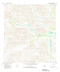
1981 · Arctic B-5
USGS Topo · 1:63,360
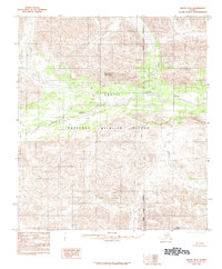
1983 · Arctic B-4
USGS Topo · 1:63,360

1983 · Arctic C-3
USGS Topo · 1:63,360

1983 · Arctic B-3
USGS Topo · 1:63,360