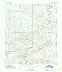
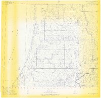
1955 Map of Point Lay A-2
USGS Topo · Published 1970About this map
The Kukpuk River winds through this remote arctic landscape, cutting a deep path as it flows past the prominent Amatusuk Hills. This 1955 topographic study, later published for civil use by the U.S. Geological Survey, captures the area during an era of intensive aerial photogrammetric mapping by the U.S. Army Topographic Command. To the south, the terrain descends into the Beaufort Basin, while smaller tributaries like Kuchiak Creek and Deadfall Creek drain the surrounding uplands. The map reveals a wild, unpeopled region defined entirely by its hydrology and relief, providing a clear record of the North Slope's natural drainage patterns before modern environmental changes.
Find a feature on this map
5 named features on this map. Tap any name to fly to it.
Don’t see what you’re looking for? This feature index may not catch every label — zoom into the map to look around manually.
Map Details
Editions of this 1955 Point Lay A-2 Map
2 editions found
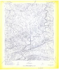
Other maps of this area

1951 · De Long Mountains
USGS Topo · 1:250,000

1951 · Point Lay
USGS Topo · 1:250,000

1955 · De Long Mountains
USGS Topo · 1:250,000

1955 · Point Lay
USGS Topo · 1:250,000

1955 · Point Lay B-1
USGS Topo · 1:63,360

1955 · Point Lay A-1
USGS Topo · 1:63,360

1955 · De Long Mountains D-2
USGS Topo · 1:63,360
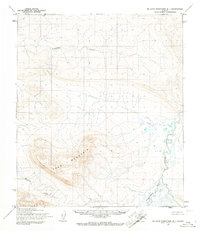
1955 · De Long Mountains D-1
USGS Topo · 1:63,360
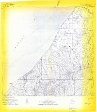
1955 · Point Lay A-3 & 4
USGS Topo · 1:63,360
1955 · Point Lay B-2 & 3
USGS Topo · 1:63,360