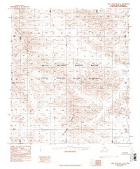
1983 Map of Table Mountain C-2
USGS Topo · Published 1986About this map
The Continental Divide winds through this high-latitude terrain within the North Slope Borough, providing a clear illustration of the dramatic drainage patterns in the northern reaches of Alaska. This area is defined by the massive Arctic National Wildlife Refuge and the Arctic Wildlife Refuge Wilderness, representing a landscape largely undisturbed by permanent settlements or roads as of the mid-1970s aerial survey. The Firth River flows across the southeastern corner of the quadrangle, serving as a primary watercourse in a region dominated by steep topographic relief and seasonal runoff channels. Compiled by the Geological Survey and the Bureau of Land Management, the map detail emphasizes the complex natural contours and the designated wilderness boundaries that protected this environment during the late twentieth century.
Find a feature on this map
4 named features on this map. Tap any name to fly to it.
Don’t see what you’re looking for? This feature index may not catch every label — zoom into the map to look around manually.
Map Details
Editions of this 1983 Table Mountain C-2 Map
2 editions found
Other maps of this area

1951 · Table Mountain
USGS Topo · 1:250,000

1956 · Table Mountain
USGS Topo · 1:250,000

1964 · Table Mountain
USGS Topo · 1:250,000
1972 · Table Mountain B-1
USGS Topo · 1:63,360
1972 · Table Mountain B-3
USGS Topo · 1:63,360
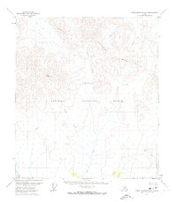
1972 · Table Mountain B-2
USGS Topo · 1:63,360

1983 · Table Mountain D-2
USGS Topo · 1:63,360
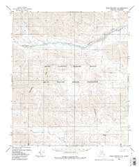
1983 · Table Mountain D-3
USGS Topo · 1:63,360

1983 · Table Mountain D-1
USGS Topo · 1:63,360
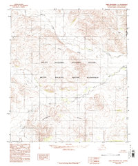
1983 · Table Mountain C-1
USGS Topo · 1:63,360