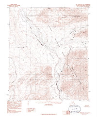
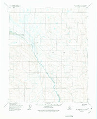
1983 Map of Mt. Michelson B-4
USGS Topo · Published 1986About this map
The Canning River carves a massive glacial corridor through the high Arctic, serving as a primary boundary for the Arctic National Wildlife Refuge. This northern wilderness is defined by the intersection of the Shublik Mountains and the Franklin Mountains, where extreme elevation changes drop into the wide Canning Valley. The presence of Shublik Island within the river’s braided channels and the isolated Shublik Spring reveal the complex hydrology of the North Slope. To the east, the landscape transitions into the specialized terrain of the Ikiakpuk Valley and Third Range Valley, while the western edge is marked by the course of the Kavik River. High peaks like Mount Copleston stand as literal landmarks in an area dominated by tundra and drainage systems like Cache Creek and Nanook Creek.
Find a feature on this map
18 named features on this map. Tap any name to fly to it.
Don’t see what you’re looking for? This feature index may not catch every label — zoom into the map to look around manually.
Map Details
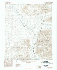
Editions of this 1983 Mt. Michelson B-4 Map
2 editions found
Other maps of this area

1951 · Mt. Michelson
USGS Topo · 1:250,000

1955 · Mount Michelson C-5
USGS Topo · 1:63,360

1955 · Mount Michelson C-3
USGS Topo · 1:63,360

1955 · Mount Michelson C-4
USGS Topo · 1:63,360

1956 · Mt. Michelson
USGS Topo · 1:250,000

1956 · Mount Michelson B-3
USGS Topo · 1:63,360
1971 · Mount Michelson A-5
USGS Topo · 1:63,360
1971 · Mount Michelson B-5
USGS Topo · 1:63,360
1973 · Mount Michelson C-5
USGS Topo · 1:63,360

1975 · Mount Michelson C-3
USGS Topo · 1:63,360