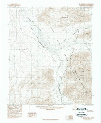
1983 Map of Mount Michelson B-4
USGS Topo · Published 1984About this map
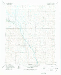
Canning River dominates this portion of the North Slope, carving a wide gravel-braided path that serves as the Canning River Wilderness Boundary. The terrain is defined by the dramatic rise of the Shublik Mountains and the Franklin Mountains, where summits like Mount Copleston overlook deep-cut drainages. This early 1980s provisional survey shows the land just after the establishment of the Arctic National Wilderness, preserving a landscape of unnamed peaks and named valleys such as the Ikiakpaurak Valley. The network of watercourses, including Ikiakpaurak Creek, Cache Creek, and Eagle Creek, flow through the Third Range and Fourth Range, illustrating the complex drainage patterns of the Brooks Range foothills. Isolated features like Shublik Island and the distant Nanook Creek emphasize the scale of this protected frontier.
Find a feature on this map
20 named features on this map. Tap any name to fly to it.
Don’t see what you’re looking for? This feature index may not catch every label — zoom into the map to look around manually.
Map Details
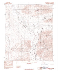
Editions of this 1983 Mount Michelson B-4 Map
2 editions found
Other maps of this area

1951 · Mt. Michelson
USGS Topo · 1:250,000

1955 · Mount Michelson C-5
USGS Topo · 1:63,360

1955 · Mount Michelson C-3
USGS Topo · 1:63,360

1955 · Mount Michelson C-4
USGS Topo · 1:63,360

1956 · Mt. Michelson
USGS Topo · 1:250,000

1956 · Mount Michelson B-3
USGS Topo · 1:63,360
1971 · Mount Michelson A-5
USGS Topo · 1:63,360
1971 · Mount Michelson B-5
USGS Topo · 1:63,360
1973 · Mount Michelson C-5
USGS Topo · 1:63,360

1975 · Mount Michelson C-3
USGS Topo · 1:63,360