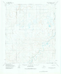
1955 Map of Utukok River B-5
USGS Topo · Published 1976About this map
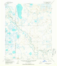
The Kokolik River meanders across this Arctic landscape, carving a series of dramatic oxbows and abandoned channels through the North Slope. Surveyed in the mid-1950s, the map reveals a wilderness shaped by permafrost and water, where the river's winding path serves as the primary geographic corridor. To the south, the Kiklupiklak Hills rise above the surrounding drainage basins, providing a topographic anchor in an area otherwise defined by low-lying wetlands and seasonal runoff.
Find a feature on this map
3 named features on this map. Tap any name to fly to it.
Don’t see what you’re looking for? This feature index may not catch every label — zoom into the map to look around manually.
Map Details
Editions of this 1955 Utukok River B-5 Map
2 editions found
Other maps of this area

1951 · Utukok River
USGS Topo · 1:250,000

1951 · Point Lay
USGS Topo · 1:250,000

1955 · Point Lay
USGS Topo · 1:250,000
1955 · Utukok River A-5
USGS Topo · 1:63,360
1955 · Utukok River A-4
USGS Topo · 1:63,360
1955 · Utukok River C-5
USGS Topo · 1:63,360

1955 · Point Lay B-1
USGS Topo · 1:63,360

1955 · Point Lay C-1
USGS Topo · 1:63,360
1955 · Utukok River B-4
USGS Topo · 1:63,360

1955 · Point Lay A-1
USGS Topo · 1:63,360