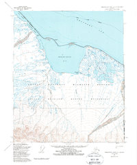
1955 Map of Demarcation Point C-1
USGS Topo · Published 1988About this map
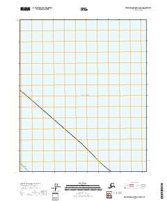
Demarcation Bay and the surrounding coastline of the Beaufort Sea dominate this mid-century survey of the far northern coast. The map illustrates a remote landscape where water and land merge through features like Siku Lagoon and Pingokraluk Lagoon, protected behind narrow reefs. Human presence is sparse, noted at the settlement of Gordon and the Kuluruak (Site), alongside specialized markers such as the Demarcation St Base. To the east, the United States-Canada border is marked by the Alaska-Yukon boundary line. This territory is largely defined by the Arctic National Wildlife Refuge, where the Turner River and Putugook Creek drain from the southern uplands toward the bights and lagoons of the Arctic shore. The presence of Winter Trails highlights the seasonal nature of travel in this region long before modern infrastructure.
Find a feature on this map
23 named features on this map. Tap any name to fly to it.
Don’t see what you’re looking for? This feature index may not catch every label — zoom into the map to look around manually.
Map Details
Editions of this 1955 Demarcation Point C-1 Map
2 editions found
Other maps of this area

1951 · Demarcation Point
USGS Topo · 1:250,000

1955 · Demarcation Point
USGS Topo · 1:250,000
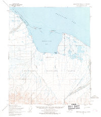
1955 · Demarcation Point C-1
USGS Topo · 1:63,360

1955 · Demarcation Point D-2
USGS Topo · 1:63,360

1955 · Demarcation Point C-2
USGS Topo · 1:63,360

1956 · Demarcation Point B-2
USGS Topo · 1:63,360
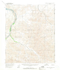
1956 · Demarcation Point B-1
USGS Topo · 1:63,360

1964 · Demarcation Point
USGS Topo · 1:250,000
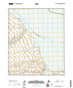
2018 · Demarcation Point C-1 NW
USGS Topo · 1:25,000
2018 · Demarcation Point D-2 OE E SW
USGS Topo · 1:25,000