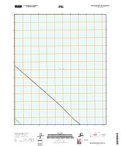
2018 Map of Demarcation Point D-2 OE E SW
USGS Topo · Published 2018About this map
The Beaufort Sea dominates this coastal survey, where the far northern waters meet the shoreline of the North Slope Borough. The map captures a transition from the open sea to the distinct landform of Icy Reef, a narrow coastal feature that separates the ocean from the mainland. This 2018 topographic study illustrates the sparse, undeveloped nature of the Arctic coastline, focusing on the boundary where land and ice-affected waters interact. Mapping of the Public Land Survey System for t5n r42e provides a grid for an otherwise uninhabited landscape, essential for understanding the administrative geography of this remote Alaskan territory.
Find a feature on this map
5 named features on this map. Tap any name to fly to it.
Don’t see what you’re looking for? This feature index may not catch every label — zoom into the map to look around manually.
Map Details
Editions of this 2018 Demarcation Point D-2 OE E SW Map
This is the sole edition of this map. No revisions or reprints were ever made.
Other maps of this area

1951 · Demarcation Point
USGS Topo · 1:250,000

1955 · Demarcation Point
USGS Topo · 1:250,000
1955 · Demarcation Point C-1
USGS Topo · 1:63,360

1955 · Demarcation Point D-2
USGS Topo · 1:63,360

1955 · Demarcation Point C-2
USGS Topo · 1:63,360

1964 · Demarcation Point
USGS Topo · 1:250,000
2018 · Demarcation Point C-1 NW
USGS Topo · 1:25,000
2018 · Demarcation Point C-2 NE
USGS Topo · 1:25,000
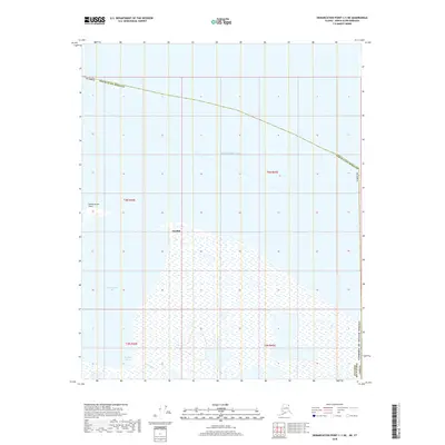
2018 · Demarcation Point C-1 NE
USGS Topo · 1:25,000
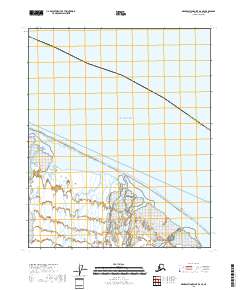
2018 · Demarcation Point D-2 SE
USGS Topo · 1:25,000