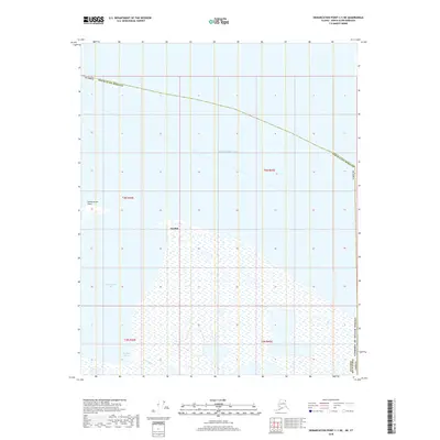
2018 Map of Demarcation Point C-1 NE
USGS Topo · Published 2018About this map
Gordon sits at the edge of the Beaufort Sea along the northernmost coast of the North Slope Borough. This Arctic landscape is defined by the complex transition between water and land, where Demarcation Bay and Kagiluak Bight carve into the shoreline. The settlement of Gordon represents a rare point of human activity in this remote coastal environment, positioned near the protective curve of Demarcation Point. Inland, the terrain is marked by the winding path of Kagiluak Cr, showing a hydrological pattern of tundra drainage systems characteristic of the region. The proximity to the international border is clear, as the map captures the northeastern corner of Alaska where the United States meets the Yukon Territory, an area where coastal geography has historically dictated settlement and transit.
Find a feature on this map
13 named features on this map. Tap any name to fly to it.
Don’t see what you’re looking for? This feature index may not catch every label — zoom into the map to look around manually.
Map Details
Editions of this 2018 Demarcation Point C-1 NE Map
This is the sole edition of this map. No revisions or reprints were ever made.
Other maps of this area

1951 · Demarcation Point
USGS Topo · 1:250,000

1955 · Demarcation Point
USGS Topo · 1:250,000
1955 · Demarcation Point C-1
USGS Topo · 1:63,360

1964 · Demarcation Point
USGS Topo · 1:250,000
2018 · Demarcation Point C-1 NW
USGS Topo · 1:25,000
2018 · Demarcation Point D-2 OE E SW
USGS Topo · 1:25,000
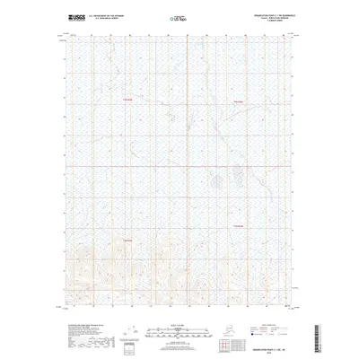
2018 · Demarcation Point C-1 SW
USGS Topo · 1:25,000
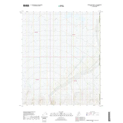
2018 · Demarcation Point C-1 SE
USGS Topo · 1:25,000
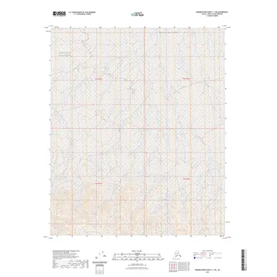
2023 · Demarcation Point C-1 SW
USGS Topo · 1:25,000
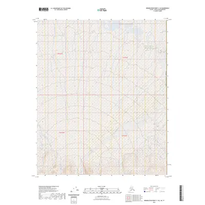
2023 · Demarcation Point C-1 SE
USGS Topo · 1:25,000