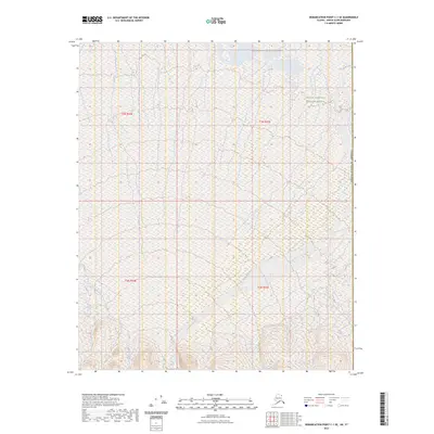
2023 Map of Demarcation Point C-1 SE
USGS Topo · Published 2023About this map
Mollie Beattie Wilderness and the Arctic National Wildlife Refuge define this coastal corner of the Alaskan North Slope, where the landscape transitions into the Beaufort Sea. The terrain is characterized by a complex network of wetlands and braided waterways, most notably the meandering Clarence River which serves as a natural boundary near the eastern edge of the quadrangle. Other significant drainages include the Turner River and Putugook Creek, which weave through the low-lying coastal plain.
Find a feature on this map
10 named features on this map. Tap any name to fly to it.
Don’t see what you’re looking for? This feature index may not catch every label — zoom into the map to look around manually.
Map Details
Editions of this 2023 Demarcation Point C-1 SE Map
This is the sole edition of this map. No revisions or reprints were ever made.
Other maps of this area

1951 · Demarcation Point
USGS Topo · 1:250,000

1955 · Demarcation Point
USGS Topo · 1:250,000
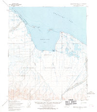
1955 · Demarcation Point C-1
USGS Topo · 1:63,360
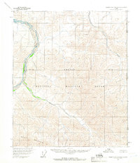
1956 · Demarcation Point B-1
USGS Topo · 1:63,360

1964 · Demarcation Point
USGS Topo · 1:250,000
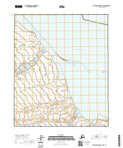
2018 · Demarcation Point C-1 NW
USGS Topo · 1:25,000
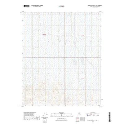
2018 · Demarcation Point C-1 SW
USGS Topo · 1:25,000
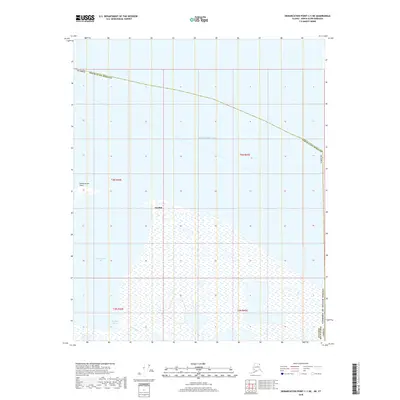
2018 · Demarcation Point C-1 NE
USGS Topo · 1:25,000
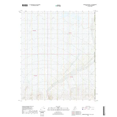
2018 · Demarcation Point C-1 SE
USGS Topo · 1:25,000
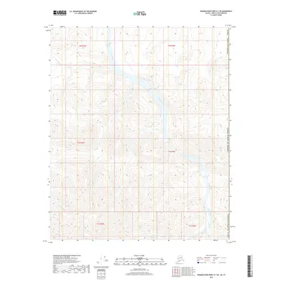
2018 · Demarcation Point B-1 NE
USGS Topo · 1:25,000