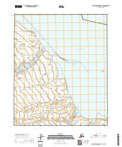
2018 Map of Demarcation Point C-1 NW
USGS Topo · Published 2018About this map
The Beaufort Sea shapes this coastal landscape where the waters meet the northernmost edge of the Alaska North Slope Borough. Along the shore, Icy Reef creates a narrow barrier against the open sea, protecting small inlets and the landward marsh. This map documents a specialized coastal geography defined by Pingokraluk Point and the eastern waters of Demarcation Bay. The lack of inland settlements or roads highlights the isolation of this Arctic environment, where the landscape is categorized primarily by public land survey townships like t4n r43e and t4n r44e. It is a study of a shoreline in transition, recording the exact position of coastal points and reefs at a time of increasing environmental focus on the Arctic coast.
Find a feature on this map
10 named features on this map. Tap any name to fly to it.
Don’t see what you’re looking for? This feature index may not catch every label — zoom into the map to look around manually.
Map Details
Editions of this 2018 Demarcation Point C-1 NW Map
This is the sole edition of this map. No revisions or reprints were ever made.
Other maps of this area

1951 · Demarcation Point
USGS Topo · 1:250,000

1955 · Demarcation Point
USGS Topo · 1:250,000
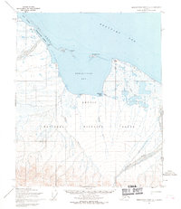
1955 · Demarcation Point C-1
USGS Topo · 1:63,360

1955 · Demarcation Point D-2
USGS Topo · 1:63,360

1955 · Demarcation Point C-2
USGS Topo · 1:63,360

1964 · Demarcation Point
USGS Topo · 1:250,000
2018 · Demarcation Point D-2 OE E SW
USGS Topo · 1:25,000
2018 · Demarcation Point C-1 SW
USGS Topo · 1:25,000
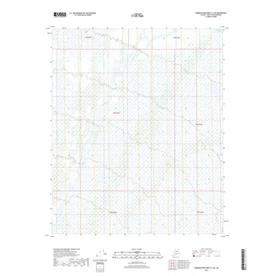
2018 · Demarcation Point C-2 NE
USGS Topo · 1:25,000
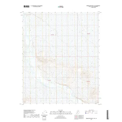
2018 · Demarcation Point C-2 SE
USGS Topo · 1:25,000