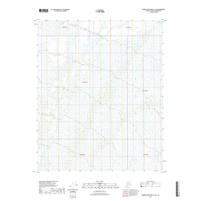
2018 Map of Demarcation Point C-2 NE
USGS Topo · Published 2018About this map
The Kongakut River dominates this Arctic coastal landscape, weaving a complex braided network as it approaches the far northern shoreline. This 2018 survey by the U.S. Geological Survey shows the river's path through the North Slope, where the drainage basin interacts with the cold waters of the Beaufort Sea at the very top of the map. The terrain is defined by the Public Land Survey System grids, including t5n r41e, t5n r42e, and t4n r42e, which provide a geographic framework for this uninhabited wilderness. The map captures the subtle hydrologic patterns of the coastal plain, where countless small seasonal wetlands and channels form a delicate web across the tundra, as documented by the FWS National Wetlands Inventory data.
Find a feature on this map
8 named features on this map. Tap any name to fly to it.
Don’t see what you’re looking for? This feature index may not catch every label — zoom into the map to look around manually.
Map Details
Editions of this 2018 Demarcation Point C-2 NE Map
This is the sole edition of this map. No revisions or reprints were ever made.
Other maps of this area

1951 · Demarcation Point
USGS Topo · 1:250,000

1955 · Demarcation Point
USGS Topo · 1:250,000
1955 · Demarcation Point C-1
USGS Topo · 1:63,360

1955 · Demarcation Point D-2
USGS Topo · 1:63,360

1955 · Demarcation Point C-2
USGS Topo · 1:63,360

1964 · Demarcation Point
USGS Topo · 1:250,000
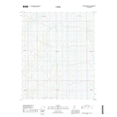
2018 · Demarcation Point C-2 NW
USGS Topo · 1:25,000
2018 · Demarcation Point C-1 NW
USGS Topo · 1:25,000
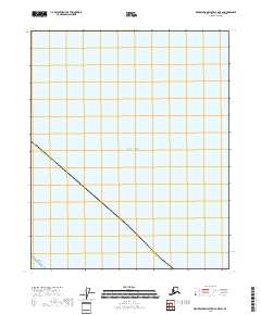
2018 · Demarcation Point D-2 OE E SW
USGS Topo · 1:25,000
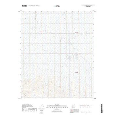
2018 · Demarcation Point C-1 SW
USGS Topo · 1:25,000