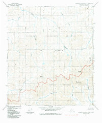
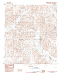
1984 Map of Misheguk Mountain C-3
USGS Topo · Published 1984About this map
Thunder Mountain and Black Mountain rise as central landmarks in this high-latitude terrain, where the northern expanse of the National Petroleum Reserve in Alaska meets the protected reaches of the Noatak National Preserve. The hydrology of this region is defined by a dense network of watercourses including Driftwood Creek, Thunder Creek, and Elbow Creek, which eventually drain toward the Nimiuktuk River and Nuka River.
Find a feature on this map
17 named features on this map. Tap any name to fly to it.
Don’t see what you’re looking for? This feature index may not catch every label — zoom into the map to look around manually.
Map Details
Editions of this 1984 Misheguk Mountain C-3 Map
This is the sole edition of this map. No revisions or reprints were ever made.
Other maps of this area

1951 · Misheguk Mountain
USGS Topo · 1:250,000

1956 · Misheguk Mountain
USGS Topo · 1:250,000
1984 · Misheguk Mountain C-2
USGS Topo · 1:63,360
1984 · Misheguk Mountain D-3
USGS Topo · 1:63,360
1984 · Misheguk Mountain D-2
USGS Topo · 1:63,360
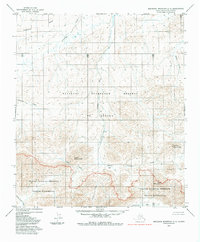
1984 · Misheguk Mountain C-4
USGS Topo · 1:63,360
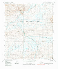
1984 · Misheguk Mountain D-4
USGS Topo · 1:63,360
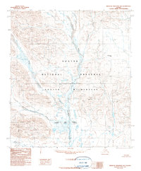
1990 · Misheguk Mountain B-2
USGS Topo · 1:63,360
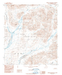
1990 · Misheguk Mountain B-4
USGS Topo · 1:63,360
1990 · Misheguk Mountain B-3
USGS Topo · 1:63,360