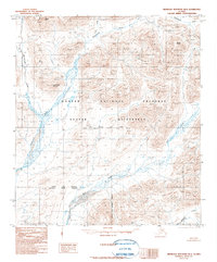
1990 Map of Misheguk Mountain B-4
USGS Topo · Published 1990About this map
The Kugururok River snakes through the high-latitude terrain of the North Slope Borough and Northwest Arctic Borough in this 1990 provisional edition. This arctic landscape is defined by its massive peaks, including Copter Peak, Kingaviksak Mountain, and Mount Bastille. Most of the area is protected as part of the Noatak National Preserve and the Noatak Wilderness, reflecting a territory largely untouched by permanent development at the time of the survey. The mapping shows a system of drainage including Cairn Creek, Nunauiksak Creek, and Okotak Creek feeding into the main river valley. A lone Trail provides the only evidence of human transit through this part of the Brooks Range, illustrating the extreme isolation and preservation of the Noatak watershed before the turn of the century.
Find a feature on this map
17 named features on this map. Tap any name to fly to it.
Don’t see what you’re looking for? This feature index may not catch every label — zoom into the map to look around manually.
Map Details
Editions of this 1990 Misheguk Mountain B-4 Map
This is the sole edition of this map. No revisions or reprints were ever made.
Other maps of this area

1951 · Misheguk Mountain
USGS Topo · 1:250,000

1955 · Misheguk Mountain A-3
USGS Topo · 1:63,360

1955 · Misheguk Mountain A-5
USGS Topo · 1:63,360
1955 · Misheguk Mountain A-4
USGS Topo · 1:63,360

1956 · Misheguk Mountain
USGS Topo · 1:250,000
1984 · Misheguk Mountain C-5
USGS Topo · 1:63,360
1984 · Misheguk Mountain C-3
USGS Topo · 1:63,360
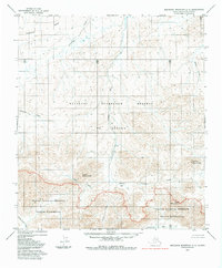
1984 · Misheguk Mountain C-4
USGS Topo · 1:63,360
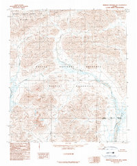
1990 · Misheguk Mountain B-5
USGS Topo · 1:63,360
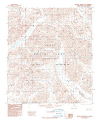
1990 · Misheguk Mountain B-3
USGS Topo · 1:63,360