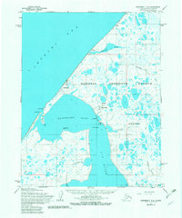
1955 Map of Wainwright C-2
USGS Topo · Published 1982About this map
The coastal village of Wainwright anchors this 1955 survey of the Arctic shoreline, situated on a narrow spit of land between the Chukchi Sea and Wainwright Inlet. The landscape is a intricate network of tundra ponds and braided waterways within the National Petroleum Reserve in Alaska, where the Kuk River and Sinaruruk River meet the coast. Local geography is marked by essential subsistence landmarks including Tupkak Bar, Point Collie, and Karmuk Point.
Find a feature on this map
27 named features on this map. Tap any name to fly to it.
Don’t see what you’re looking for? This feature index may not catch every label — zoom into the map to look around manually.
Map Details
Editions of this 1955 Wainwright C-2 Map
2 editions found
Other maps of this area

1951 · Wainwright
USGS Topo · 1:250,000

1955 · Wainwright
USGS Topo · 1:250,000

1955 · Wainwright B-1
USGS Topo · 1:63,360

1955 · Wainwright C-1
USGS Topo · 1:63,360
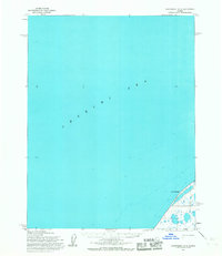
1955 · Wainwright D-2
USGS Topo · 1:63,360
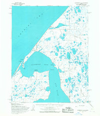
1955 · Wainwright C-2
USGS Topo · 1:63,360
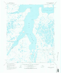
1955 · Wainwright B-2
USGS Topo · 1:63,360
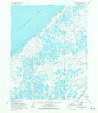
1955 · Wainwright B-3
USGS Topo · 1:63,360
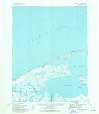
1955 · Wainwright D-1
USGS Topo · 1:63,360
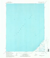
1955 · Wainwright C-3
USGS Topo · 1:63,360