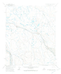
1971 Map of Sagavanirktok B-2
USGS Topo · Published 1974About this map
Braided river systems and glacial landforms dominate this high-latitude terrain of the North Slope. The wide, shifting gravel beds of the Echooka River and the Ivishak River carve through a landscape of low hills and seasonal wetlands, reflecting the hydrological patterns of the Alaskan arctic in the early 1970s. A solitary Winter Trail provides a glimpse into the seasonal transport routes required to traverse this territory before the development of permanent infrastructure. The presence of the Base Line and unsurveyed land lines predetermined by the Bureau of Land Management highlights the administrative effort to map and organize this remote region, even where permanent settlements like Gilead were few and far between. The drainage of the Kadleroshilik River further illustrates the complex watershed that defines this tundra environment.
Find a feature on this map
6 named features on this map. Tap any name to fly to it.
Don’t see what you’re looking for? This feature index may not catch every label — zoom into the map to look around manually.
Map Details
Editions of this 1971 Sagavanirktok B-2 Map
This is the sole edition of this map. No revisions or reprints were ever made.
Other maps of this area

1951 · Sagavanirktok D-5
USGS Topo · 1:250,000
1955 · Sagavanirktok C-1
USGS Topo · 1:63,360

1956 · Sagavanirktok
USGS Topo · 1:250,000

1958 · Sagavanirktok
USGS Topo · 1:250,000

1964 · Sagavanirktok
USGS Topo · 1:250,000
1971 · Sagavanirktok C-2
USGS Topo · 1:63,360
1971 · Sagavanirktok C-3
USGS Topo · 1:63,360
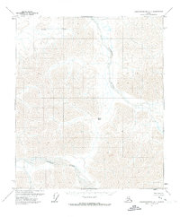
1971 · Sagavanirktok A-1
USGS Topo · 1:63,360
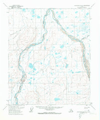
1971 · Sagavanirktok B-3
USGS Topo · 1:63,360
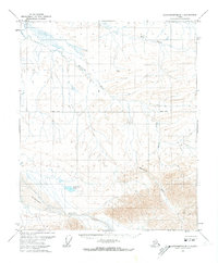
1971 · Sagavanirktok B-1
USGS Topo · 1:63,360