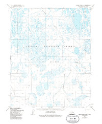
1955 Map of Meade River A-4
USGS Topo · Published 1986About this map
Nigisaktuvik River meanders across this vast Arctic landscape, reflecting a remote environment largely untouched by permanent settlement during the mid-1950s. Located within the National Petroleum Reserve in Alaska, the terrain is defined by a dense network of thaw lakes and ponds typical of the North Slope coastal plain. This 1955 survey, edited and published by the U.S. Geological Survey, documents the area's hydrology before later industrial exploration altered the region's profile.
Find a feature on this map
7 named features on this map. Tap any name to fly to it.
Don’t see what you’re looking for? This feature index may not catch every label — zoom into the map to look around manually.
Map Details
Editions of this 1955 Meade River A-4 Map
2 editions found
Other maps of this area

1951 · Meade River
USGS Topo · 1:250,000

1951 · Lookout Ridge
USGS Topo · 1:250,000

1955 · Meade River
USGS Topo · 1:250,000

1955 · Meade River A-3
USGS Topo · 1:63,360

1955 · Meade River B-3
USGS Topo · 1:63,360
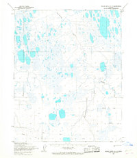
1955 · Meade River A-4
USGS Topo · 1:63,360
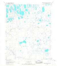
1955 · Meade River A-5
USGS Topo · 1:63,360

1955 · Meade River B-4
USGS Topo · 1:63,360
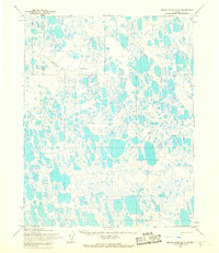
1955 · Meade River B-5
USGS Topo · 1:63,360

1956 · Lookout Ridge
USGS Topo · 1:250,000