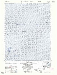
1962 Map of Harrison Bay C-3
USGS Topo · Published 1962About this map
Naval Petroleum Reserve No 4 dominates this 1962 coastal survey of Alaska's northern edge, a region defined by its critical strategic importance and untouched maritime landscape. The map focuses on the transition between the shallow waters of Harrison Bay and the deeper Beaufort Sea to the north. At the heart of the coastline, Atigaru Point serves as a prominent landform, marking the boundary of the intricate, marshy delta systems that characterize this Arctic environment. Compiled from mid-century photogrammetric methods and coastal hydrography, the map records the exact soundings and shoreline configuration before decades of environmental change. This document captures a specific moment in the management of the Naval Petroleum Reserve, illustrating the remote and specialized nature of federal land oversight on the North Slope during the Cold War era.
Find a feature on this map
4 named features on this map. Tap any name to fly to it.
Don’t see what you’re looking for? This feature index may not catch every label — zoom into the map to look around manually.
Map Details
Editions of this 1962 Harrison Bay C-3 Map
This is the sole edition of this map. No revisions or reprints were ever made.
Other maps of this area

1951 · Harrison Bay
USGS Topo · 1:250,000

1955 · Harrison Bay
USGS Topo · 1:250,000

1955 · Harrison Bay B-3
USGS Topo · 1:63,360

1955 · Harrison Bay D-4
USGS Topo · 1:63,360
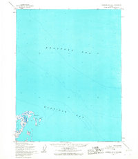
1955 · Harrison Bay C-3
USGS Topo · 1:63,360

1955 · Harrison Bay B-2
USGS Topo · 1:63,360

1955 · Harrison Bay C-4
USGS Topo · 1:63,360

1955 · Harrison Bay B-4
USGS Topo · 1:63,360
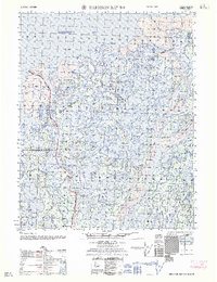
1962 · Harrison Bay B-2
USGS Topo · 1:50,000
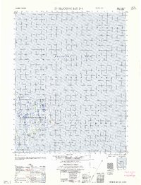
1962 · Harrison Bay D-4
USGS Topo · 1:50,000