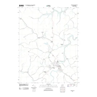
2011 Map of Philippi
USGS Topo · Published 2011About this map
The Tygart Valley River carves a deep path through Barbour County, anchoring the town of Philippi and its surrounding communities. This 2011 survey documents the established local infrastructure, including the Philippi Covered Bridge and the Philippi Post Office. The landscape is a network of small settlements and junctions such as Berryburg, Berryburg Junction, and Meriden, many of which developed around the region's historical connection to rail and river transport.
Find a feature on this map
86 named features on this map. Tap any name to fly to it.
Don’t see what you’re looking for? This feature index may not catch every label — zoom into the map to look around manually.
Map Details
Editions of this 2011 Philippi Map
This is the sole edition of this map. No revisions or reprints were ever made.
Other maps of this area

1886 · St. George
USGS Topo · 1:125,000

1891 · St. George
USGS Topo · 1:125,000

1902 · Fairmont
USGS Topo · 1:62,500

1904 · Philippi
USGS Topo · 1:62,500

1907 · Thornton
USGS Topo · 1:62,500

1907 · Belington
USGS Topo · 1:62,500

1923 · Fairmont
USGS Topo · 1:62,500

1925 · Philippi
USGS Topo · 1:62,500

1926 · Fairmont
USGS Topo · 1:62,500

1926 · Thornton
USGS Topo · 1:62,500