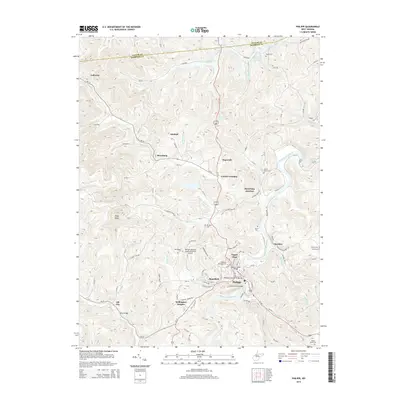
2014 Map of Philippi
USGS Topo · Published 2014About this map
The Tygart Valley River flows through the heart of this Barbour County landscape, anchored by the town of Philippi. The area's history is reflected in its crossing points, most notably the Philippi Covered Bridge and the Walnut Street Bridge connecting Mansfield and Tygart Glen. On the heights above the river, the Alderson Broaddus Coll campus overlooks the valley. The map details a transition from the structured street grids of Wellington Heights to the scattered settlements of Adaland, Berryburg, and Galloway. Genealogists will find a significant distribution of family and community burial grounds, including the Old Quaker Cem, Mt Olive Cem, and Silent Grove Cem. In the north, Pleasant Cr and Bartlett Run drain the terrain toward the Backwater of Dam, while transportation is facilitated by Us-119 250 and the Philippi/Barbour County Regional Airport.
Find a feature on this map
74 named features on this map. Tap any name to fly to it.
Don’t see what you’re looking for? This feature index may not catch every label — zoom into the map to look around manually.
Map Details
Editions of this 2014 Philippi Map
This is the sole edition of this map. No revisions or reprints were ever made.
Other maps of this area

1886 · St. George
USGS Topo · 1:125,000

1891 · St. George
USGS Topo · 1:125,000

1902 · Fairmont
USGS Topo · 1:62,500

1904 · Philippi
USGS Topo · 1:62,500

1907 · Thornton
USGS Topo · 1:62,500

1907 · Belington
USGS Topo · 1:62,500

1923 · Fairmont
USGS Topo · 1:62,500

1925 · Philippi
USGS Topo · 1:62,500

1926 · Fairmont
USGS Topo · 1:62,500

1926 · Thornton
USGS Topo · 1:62,500