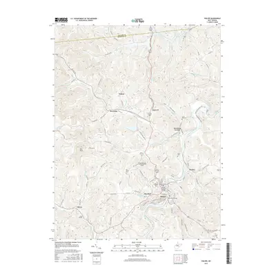
2016 Map of Philippi
USGS Topo · Published 2016About this map
The Tygart Valley River carves through the heart of Barbour County, anchoring the historic town of Philippi and its surrounding communities. This West Virginia landscape is defined by its deep connection to regional education and infrastructure, evidenced by the campus of Alderson Broaddus Univ and the iconic Philippi Covered Bridge spanning the river. Local transportation history is etched into the terrain via the Old Railroad Grade and the Beverley-Fairmont Pike, while the Philippi/Barbour County Regional Airport marks more modern connectivity atop the nearby ridges.
Find a feature on this map
93 named features on this map. Tap any name to fly to it.
Don’t see what you’re looking for? This feature index may not catch every label — zoom into the map to look around manually.
Map Details
Editions of this 2016 Philippi Map
This is the sole edition of this map. No revisions or reprints were ever made.
Other maps of this area

1886 · St. George
USGS Topo · 1:125,000

1891 · St. George
USGS Topo · 1:125,000

1902 · Fairmont
USGS Topo · 1:62,500

1904 · Philippi
USGS Topo · 1:62,500

1907 · Thornton
USGS Topo · 1:62,500

1907 · Belington
USGS Topo · 1:62,500

1923 · Fairmont
USGS Topo · 1:62,500

1925 · Philippi
USGS Topo · 1:62,500

1926 · Fairmont
USGS Topo · 1:62,500

1926 · Thornton
USGS Topo · 1:62,500