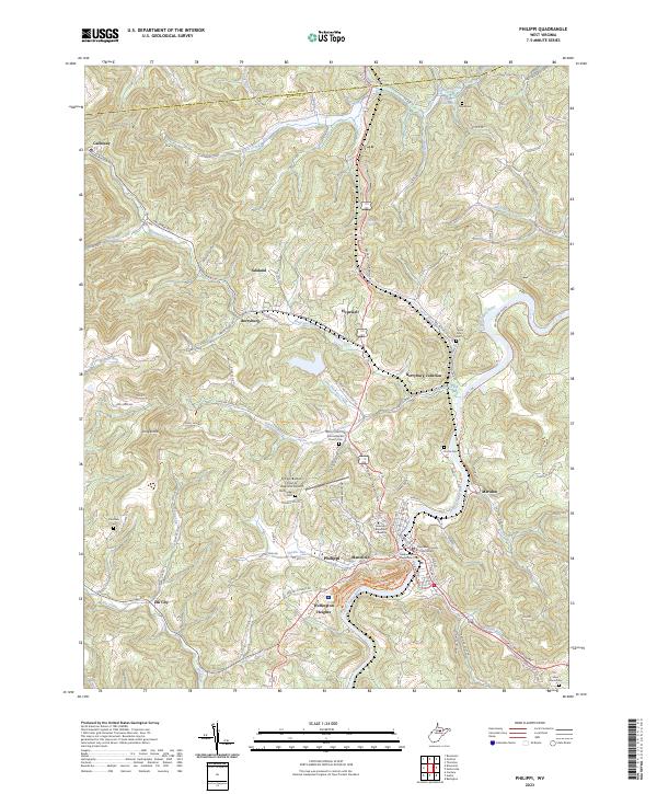
2023 Map of Philippi
USGS Topo · Published 2023About this map
Philippi serves as the focal point of this Barbour County landscape, situated along a sharp bend of the Tygart Valley River. The town is characterized by its institutional core, featuring the Barbour County Courthouse and the campus of Alderson Broaddus University, while the Philippi/Barbour County Regional Airport sits on the plateau to the northwest. The surrounding terrain is a complex network of ridges like Chestnut Ridge and hollows shaped by waterways such as Hackers Creek and Simpson Creek.
Find a feature on this map
41 named features on this map. Tap any name to fly to it.
Don’t see what you’re looking for? This feature index may not catch every label — zoom into the map to look around manually.
Map Details
Editions of this 2023 Philippi Map
This is the sole edition of this map. No revisions or reprints were ever made.
Other maps of this area

1886 · St. George
USGS Topo · 1:125,000

1891 · St. George
USGS Topo · 1:125,000

1902 · Fairmont
USGS Topo · 1:62,500

1904 · Philippi
USGS Topo · 1:62,500

1907 · Thornton
USGS Topo · 1:62,500

1907 · Belington
USGS Topo · 1:62,500

1923 · Fairmont
USGS Topo · 1:62,500

1925 · Philippi
USGS Topo · 1:62,500

1926 · Fairmont
USGS Topo · 1:62,500

1926 · Thornton
USGS Topo · 1:62,500