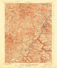
1928 Map of Philippi
USGS Topo · Published 1928About this map
The Tygart River cuts through the heart of this North Central West Virginia landscape, where the Baltimore and Ohio railroad tracks trace the river's winding path through Philippi. Surveyed at the turn of the century and revised in the mid-1920s, this document details a region defined by its narrow valleys and coal-associated settlements like Berryburg, Galloway, and Century. The intricate network of local schools—such as the curiously named Pigtail School and Bumgardner School—illustrates the density of rural mountain communities before mid-century consolidation. Genealogists will find a wealth of family-named landmarks and rural houses of worship, including Marys Chapel and Mt Vernon Church. The topography is marked by significant elevation changes, from the heights of Bear Mountain to the confluence of the Buckhannon River and Middle Fork River in the south.
Find a feature on this map
134 named features on this map. Tap any name to fly to it.
Don’t see what you’re looking for? This feature index may not catch every label — zoom into the map to look around manually.
Map Details
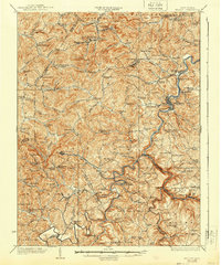
Editions of this 1928 Philippi Map
2 editions found
Other maps of this area

1886 · St. George
USGS Topo · 1:125,000

1889 · Beverly
USGS Topo · 1:125,000

1891 · St. George
USGS Topo · 1:125,000

1892 · Beverly
USGS Topo · 1:125,000

1893 · Buckhannon
USGS Topo · 1:125,000

1896 · Buckhannon
USGS Topo · 1:125,000

1897 · Buckhannon
USGS Topo · 1:125,000

1902 · Clarksburg
USGS Topo · 1:62,500

1902 · Fairmont
USGS Topo · 1:62,500

1904 · Philippi
USGS Topo · 1:62,500