
1929 Map of Phillips
USGS Topo · Published 1929About this map
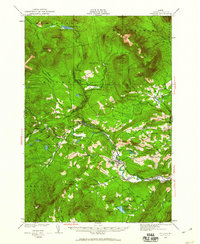
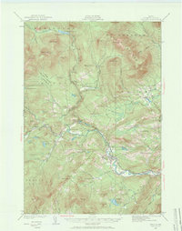
Phillips serves as the central hub of this 1929 Maine study, where the Sandy River winds through a landscape defined by localized farming and early 20th-century mountain industry. The map reveals a dense network of one-room schoolhouses serving remote mountain basins, including the East Madrid Sch, Blethen Sch, and Avon Valley Sch. These institutions reflect a period of decentralized rural education before mid-century consolidation.
Find a feature on this map
69 named features on this map. Tap any name to fly to it.
Don’t see what you’re looking for? This feature index may not catch every label — zoom into the map to look around manually.
Map Details
Editions of this 1929 Phillips Map
3 editions found
Other maps of this area

1924 · Farmington
USGS Topo · 1:62,500

1926 · Dixfield
USGS Topo · 1:62,500

1927 · Rumford
USGS Topo · 1:48,000

1928 · Dead River
USGS Topo · 1:62,500

1928 · Stratton
USGS Topo · 1:48,000

1929 · Dixfield
USGS Topo · 1:62,500

1930 · Rumford
USGS Topo · 1:62,500

1930 · Kingfield
USGS Topo · 1:48,000

1931 · Dead River
USGS Topo · 1:48,000

1932 · Phillips
USGS Topo · 1:62,500