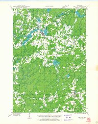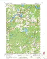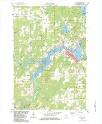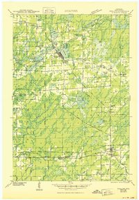
1943 Map of Phillips
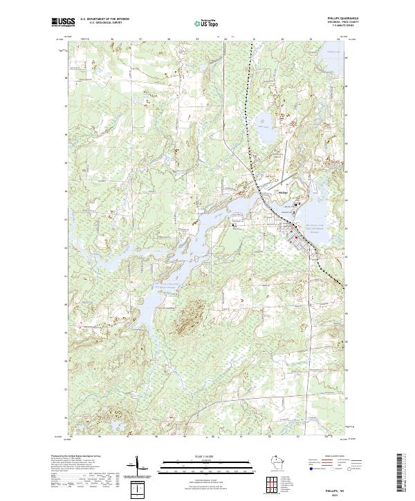
USGS Topo · Published 1950About this map
Phillips serves as the focal point of this Northwoods landscape, where the lumber and rail legacy of Price County is etched into the terrain. Just before the mid-century, the Minneapolis St Paul and Sault Ste Marie Line provided the essential corridor for the region's movement, connecting the hub at Prentice through the central timberlands. The landscape is dotted with the remnants of a rural educational network, including the Kerr Slashing Sch, Arbutus Hill Sch, and Ping Grove Sch, reflecting the distributed nature of early 20th-century settlements.
Find a feature on this map
71 named features on this map. Tap any name to fly to it.
Don’t see what you’re looking for? This feature index may not catch every label — zoom into the map to look around manually.
Map Details
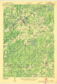
Editions of this 1943 Phillips Map
2 editions found
Historical Maps of Worcester Through Time
5 maps found