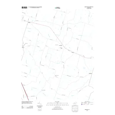
2013 Map of Philpot
USGS Topo · Published 2013About this map
Philpot and the surrounding rural communities of Daviess County appear here in a landscape defined by winding creek branches and energy infrastructure. The map documents a corridor of small settlements including Habit, Grandview, and Boston along the highway, while the eastern edge reaches toward the community of Oklahoma. This region is shaped by the drainage of N Fork Panther Cr and S Fork Panther Cr, with family names appearing on local roads such as Winkler Rd, Jack Hinton Rd, and Luther Taylor Rd.
Find a feature on this map
70 named features on this map. Tap any name to fly to it.
Don’t see what you’re looking for? This feature index may not catch every label — zoom into the map to look around manually.
Map Details
Editions of this 2013 Philpot Map
This is the sole edition of this map. No revisions or reprints were ever made.
Other maps of this area

1901 · Owensboro
USGS Topo · 1:62,500

1903 · Tell City
USGS Topo · 1:62,500

1906 · Sutherland
USGS Topo · 1:62,500

1907 · Whitesville
USGS Topo · 1:62,500

1909 · Whitesville
USGS Topo · 1:62,500

1952 · Owensboro East
USGS Topo · 1:24,000

1953 · Philpot
USGS Topo · 1:24,000

1953 · Sutherland
USGS Topo · 1:24,000

1953 · Utica
USGS Topo · 1:24,000

1953 · Dundee
USGS Topo · 1:24,000