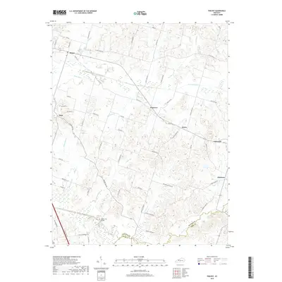
2019 Map of Philpot
USGS Topo · Published 2019About this map
Whitesville and Philpot anchor this portion of Daviess County, where the landscape is defined by the intricate drainages of the Panther Creek system. The map reveals a dense network of country roads named for local families, such as Jack Hinton Rd, Monarch Rd, and Millers Mill Rd, tracing the rural development of the region. Low-lying wetlands and agricultural improvements are evident through features like Bailey Ditch, which channel water toward the N Fork Panther Cr.
Find a feature on this map
61 named features on this map. Tap any name to fly to it.
Don’t see what you’re looking for? This feature index may not catch every label — zoom into the map to look around manually.
Map Details
Editions of this 2019 Philpot Map
This is the sole edition of this map. No revisions or reprints were ever made.
Other maps of this area

1901 · Owensboro
USGS Topo · 1:62,500

1903 · Tell City
USGS Topo · 1:62,500

1906 · Sutherland
USGS Topo · 1:62,500

1907 · Whitesville
USGS Topo · 1:62,500

1909 · Whitesville
USGS Topo · 1:62,500

1952 · Owensboro East
USGS Topo · 1:24,000

1953 · Philpot
USGS Topo · 1:24,000

1953 · Sutherland
USGS Topo · 1:24,000

1953 · Utica
USGS Topo · 1:24,000

1953 · Dundee
USGS Topo · 1:24,000