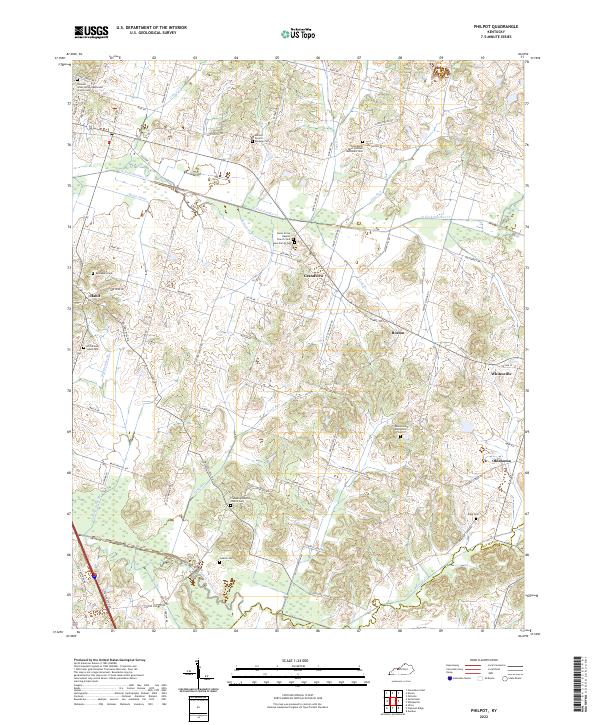
2022 Map of Philpot
USGS Topo · Published 2022About this map
Whitesville and the surrounding rural communities of eastern Daviess County define this landscape, where the N Fork Panther Cr and its tributaries like Cane Run and Joes Run carve through the terrain. The map illustrates a high density of small rural settlements and religious sites, including Habit, Grandview, and Boston. Local history is deeply embedded in the land, evidenced by numerous family-named burial grounds such as the Adcock - Pursell - Simpson Cem and the Karn Family Cem.
Find a feature on this map
79 named features on this map. Tap any name to fly to it.
Don’t see what you’re looking for? This feature index may not catch every label — zoom into the map to look around manually.
Map Details
Editions of this 2022 Philpot Map
This is the sole edition of this map. No revisions or reprints were ever made.
Other maps of this area
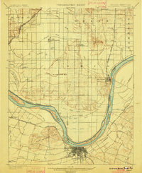
1901 · Owensboro
USGS Topo · 1:62,500
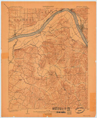
1903 · Tell City
USGS Topo · 1:62,500
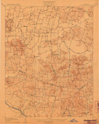
1906 · Sutherland
USGS Topo · 1:62,500
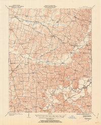
1907 · Whitesville
USGS Topo · 1:62,500
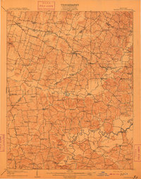
1909 · Whitesville
USGS Topo · 1:62,500
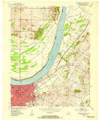
1952 · Owensboro East
USGS Topo · 1:24,000
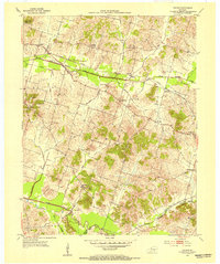
1953 · Philpot
USGS Topo · 1:24,000
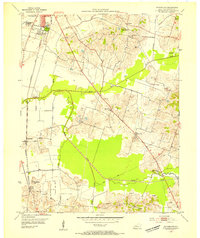
1953 · Sutherland
USGS Topo · 1:24,000
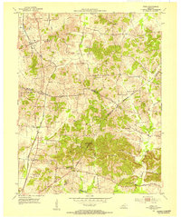
1953 · Utica
USGS Topo · 1:24,000
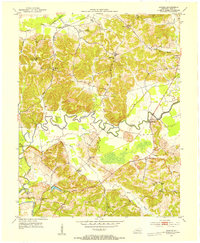
1953 · Dundee
USGS Topo · 1:24,000