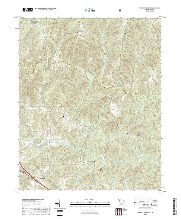
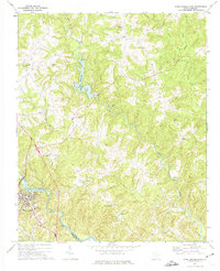
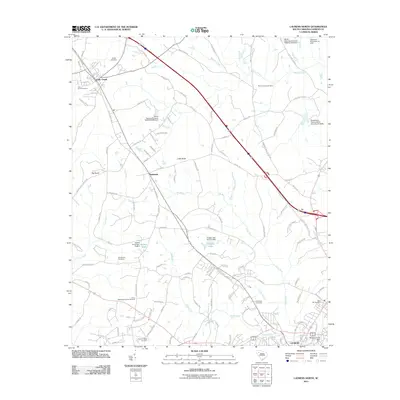
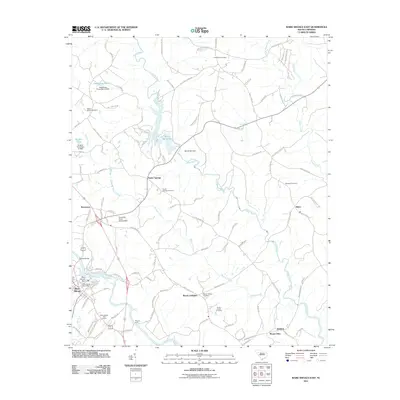
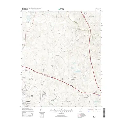
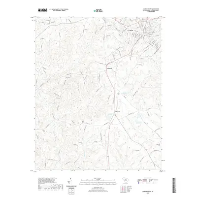
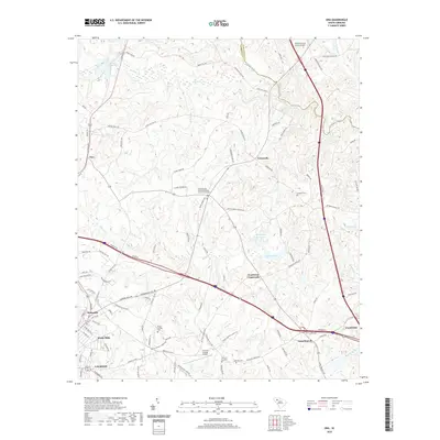
2024 Map of Philson Crossroads
USGS Topo · Published 2024About this map
Philson Crossroads sits at the heart of this landscape where the borders of Laurens, Spartanburg, and Union counties converge. The terrain is defined by the winding course of the Enoree River and a dense network of tributaries including Duncan Creek, Cedar Shoals Creek, and Frenchman Creek. This area preserves a significant record of local genealogy through its numerous historic burying grounds, such as the Antioch Church Graveyard and Bethany Presbyterian Church Cem.
Find a feature on this map
53 named features on this map. Tap any name to fly to it.
Don’t see what you’re looking for? This feature index may not catch every label — zoom into the map to look around manually.
Map Details
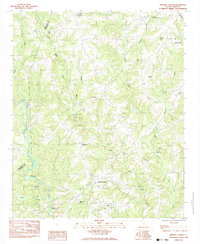
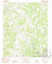
Editions of this 2024 Philson Crossroads Map
This is the sole edition of this map. No revisions or reprints were ever made.
Historical Maps of Clinton Through Time
36 maps found
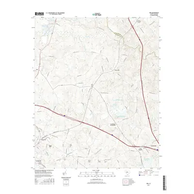
1969 Ora
Laurens County, SC
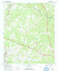
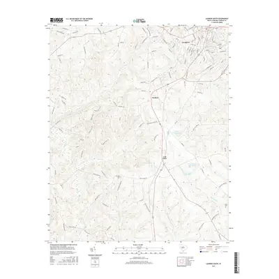
1969 Philson Crossroads
Laurens County, SC
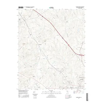
1971 Laurens South
Laurens County, SC
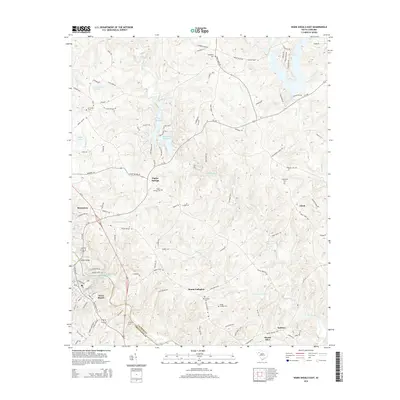
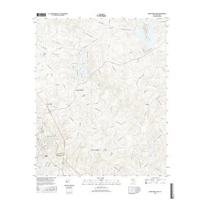
1971 Ware Shoals East
Laurens County, SC
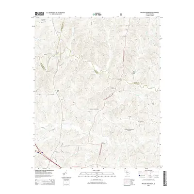
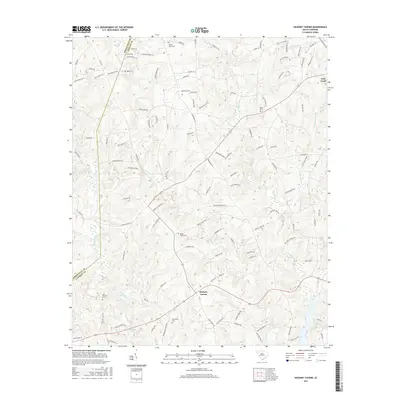
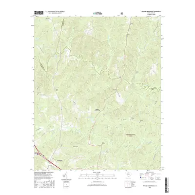
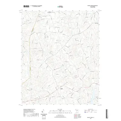
1983 Hickory Tavern
Laurens County, SC
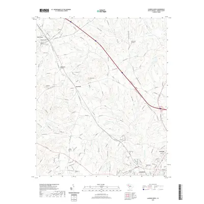
1983 Laurens North
Laurens County, SC
2011 Hickory Tavern
Laurens County, SC
2011 Laurens North
Laurens County, SC
2011 Laurens South
Laurens County, SC
2011 Ora
Laurens County, SC
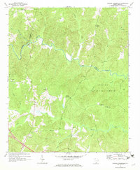
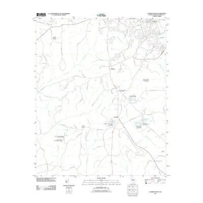
2011 Philson Crossroads
Laurens County, SC
2011 Ware Shoals East
Laurens County, SC
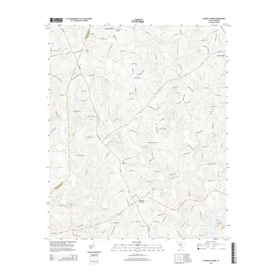
2014 Hickory Tavern
Laurens County, SC
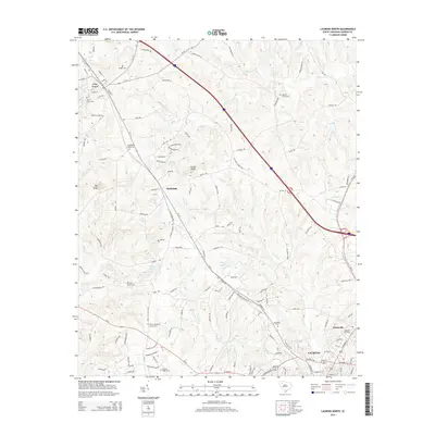
2014 Laurens North
Laurens County, SC
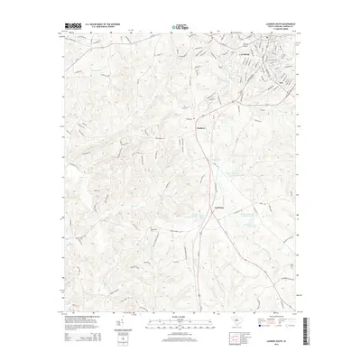
2014 Laurens South
Laurens County, SC
2014 Ora
Laurens County, SC
2014 Philson Crossroads
Laurens County, SC
2014 Ware Shoals East
Laurens County, SC
2017 Hickory Tavern
Laurens County, SC
2017 Laurens North
Laurens County, SC
2017 Laurens South
Laurens County, SC
2017 Ora
Laurens County, SC
2017 Philson Crossroads
Laurens County, SC
2017 Ware Shoals East
Laurens County, SC
2020 Hickory Tavern
Laurens County, SC
2020 Laurens North
Laurens County, SC
2020 Laurens South
Laurens County, SC
2020 Ora
Laurens County, SC
2020 Philson Crossroads
Laurens County, SC
2020 Ware Shoals East
Laurens County, SC
2024 Hickory Tavern
Laurens County, SC
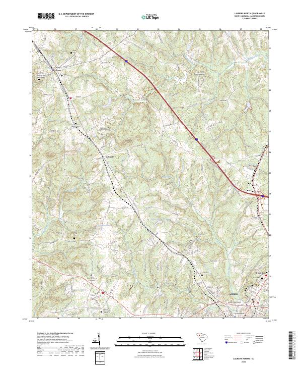
2024 Laurens North
Laurens County, SC
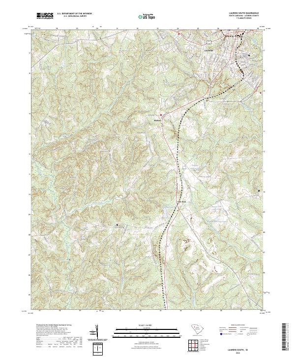
2024 Laurens South
Laurens County, SC
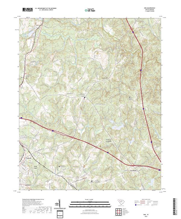
2024 Ora
Laurens County, SC
2024 Philson Crossroads
Laurens County, SC
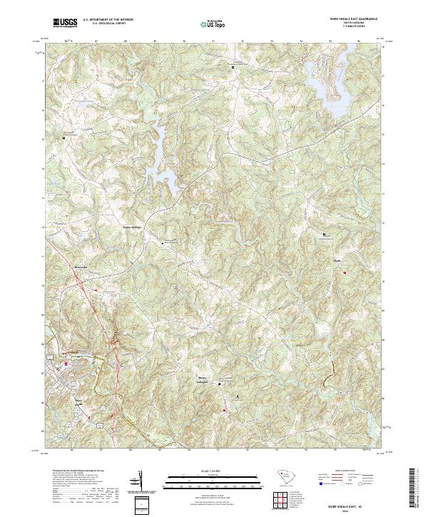
2024 Ware Shoals East
Laurens County, SC