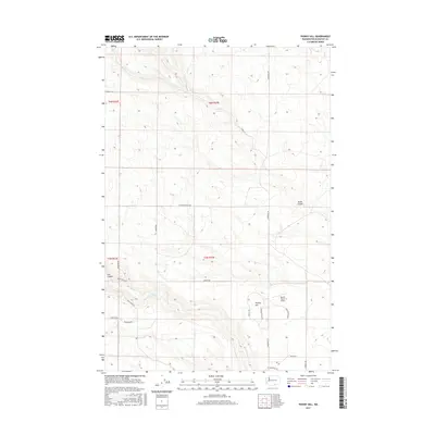
2017 Map of Phinny Hill
USGS Topo · Published 2017About this map
Phinny Hill rises as a prominent landmark in this rural section of Klickitat County, where the high plateaus of south-central Washington meet the drainage of the Columbia River basin. The landscape is defined by deep incisions like Tule Canyon and Dead Canyon, which channel seasonal runoff toward Alder Cr. This 2017 survey reveals an agricultural and utility-focused infrastructure, notably centered around the Mercer Ranch Airport and a network of specialized routes such as Booster Pump Rd and Microdish Rd.
Find a feature on this map
25 named features on this map. Tap any name to fly to it.
Don’t see what you’re looking for? This feature index may not catch every label — zoom into the map to look around manually.
Map Details
Editions of this 2017 Phinny Hill Map
This is the sole edition of this map. No revisions or reprints were ever made.
Other maps of this area

1906 · Blalock Island
USGS Topo · 1:125,000

1908 · Blalock Island
USGS Topo · 1:125,000

1910 · Zillah
USGS Topo · 1:125,000

1915 · Prosser
USGS Topo · 1:125,000

1916 · Arlington
USGS Topo · 1:125,000

1917 · Prosser
USGS Topo · 1:125,000

1950 · Yakima
USGS Topo · 1:250,000

1953 · Pendleton
USGS Topo · 1:250,000

1953 · Walla Walla
USGS Topo · 1:250,000

1953 · The Dalles
USGS Topo · 1:250,000