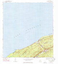
1946 Map of Phoenix
USGS Topo · Published 1976About this map
Lake Superior defines the coastline of this Keweenaw Peninsula map, where the copper country landscape transitions from the waters of Great Sand Bay to the rising elevations of the Houghton Range. The settlement of Phoenix serves as a central hub for the interior, situated near the confluence of the East Branch Eagle River and West Branch Eagle River. Local infrastructure is marked by a legacy of transport and resource extraction, visible in the Railroad Grade winding through the hills and the presence of the Sand Hills L H light station at Fivemile Point. Mapping updates from the mid-1970s illustrate the enduring geography of Allouez township, documenting established landmarks like Eagle River Cem and Hillside Cem alongside the winding course of Garden City Creek.
Find a feature on this map
20 named features on this map. Tap any name to fly to it.
Don’t see what you’re looking for? This feature index may not catch every label — zoom into the map to look around manually.
Map Details
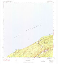
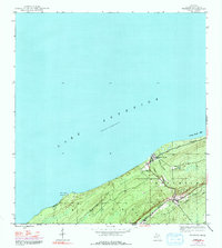
Editions of this 1946 Phoenix Map
4 editions found
Other maps of this area

1938 · Bruneau Creek
USGS Topo · 1:31,680

1940 · Central
USGS Topo · 1:31,680

1941 · Ahmeek
USGS Topo · 1:31,680

1941 · Mohawk
USGS Topo · 1:31,680

1946 · Phoenix
USGS Topo · 1:24,000

1946 · Bruneau Creek
USGS Topo · 1:24,000

1946 · Mohawk
USGS Topo · 1:24,000

1946 · Eagle Harbor
USGS Topo · 1:24,000

1946 · Ahmeek
USGS Topo · 1:24,000

1947 · Phoenix
USGS Topo · 1:24,000