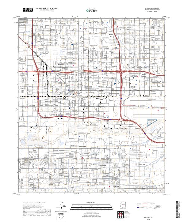
2023 Map of Phoenix
USGS Topo · Published 2023About this map
The Salt River corridor anchors this detailed urban view of the Salt River Valley, where modern infrastructure meets the historic irrigation network of the Grand Canal and Western Canal. The core of Phoenix is documented with precision, including the legal hub formed by the Arizona Supreme Court and the various Maricopa County East Court Building complexes. Educational and civic life is represented through the ASU Downtown Phoenix Campus and Phoenix College.
Find a feature on this map
58 named features on this map. Tap any name to fly to it.
Don’t see what you’re looking for? This feature index may not catch every label — zoom into the map to look around manually.
Map Details
Editions of this 2023 Phoenix Map
This is the sole edition of this map. No revisions or reprints were ever made.
Other maps of this area

1904 · Camelback
USGS Topo · 1:62,500

1906 · Camelsback
USGS Topo · 1:62,500

1912 · Phoenix
USGS Topo · 1:62,500

1913 · Mesa
USGS Topo · 1:62,500

1914 · Phoenix
USGS Topo · 1:62,500

1915 · Mesa
USGS Topo · 1:62,500

1930 · Cave Creek
USGS Topo · 1:125,000

1939 · Cave Creek
USGS Topo · 1:125,000

1952 · Tempe
USGS Topo · 1:24,000

1952 · Lone Butte
USGS Topo · 1:24,000