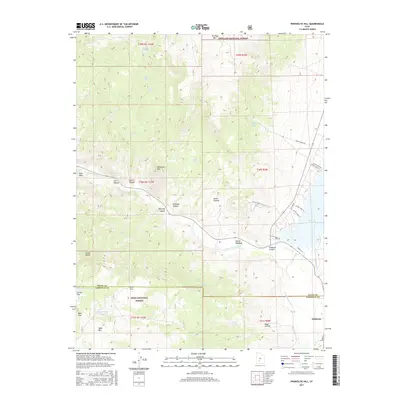
2017 Map of Phonolite Hill
USGS Topo · Published 2017About this map
Antimony sits at the eastern edge of this 2017 survey, where the valley floor meets the rising terrain of the Sevier Plateau. This landscape is defined by its complex water management and high-elevation landmarks, featuring a series of named water sources such as Blood Mine Spring, Dripping Spring, and Black Springs. The drainage of the E Fork Sevier River carves through the topography, flanked by significant elevations like Phonolite Hill and Table Mtn.
Find a feature on this map
51 named features on this map. Tap any name to fly to it.
Don’t see what you’re looking for? This feature index may not catch every label — zoom into the map to look around manually.
Map Details
Editions of this 2017 Phonolite Hill Map
This is the sole edition of this map. No revisions or reprints were ever made.
Other maps of this area

1885 · Beaver
USGS Topo · 1:250,000

1885 · Fish Lake
USGS Topo · 1:250,000

1896 · Fish Lake
USGS Topo · 1:250,000

1945 · Marysvale
USGS Topo · 1:62,500

1947 · Marysvale
USGS Topo · 1:62,500

1953 · Richfield
USGS Topo · 1:250,000

1956 · Salina
USGS Topo · 1:250,000

1958 · Richfield
USGS Topo · 1:250,000

1960 · Salina
USGS Topo · 1:250,000

1962 · Salina
USGS Topo · 1:250,000