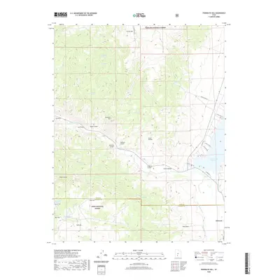
2020 Map of Phonolite Hill
USGS Topo · Published 2020About this map
Antimony sits at the edge of the high mountain terrain where the Sevier Plateau meets the agricultural valleys of southern Utah. This 2020 landscape is defined by its complex water management, featuring a network of vital sources like McCardy Spring, Blood Wine Spring, and Dripping Spring that feed into the valley. The map illustrates the transition from the high elevations of Phonolite Hill and Forshea Mtn down through canyons like Kingston Canyon and Hickman Canyon toward the managed waters of Otter Creek Reservoir.
Find a feature on this map
44 named features on this map. Tap any name to fly to it.
Don’t see what you’re looking for? This feature index may not catch every label — zoom into the map to look around manually.
Map Details
Editions of this 2020 Phonolite Hill Map
This is the sole edition of this map. No revisions or reprints were ever made.
Other maps of this area

1885 · Beaver
USGS Topo · 1:250,000

1885 · Fish Lake
USGS Topo · 1:250,000

1896 · Fish Lake
USGS Topo · 1:250,000

1945 · Marysvale
USGS Topo · 1:62,500

1947 · Marysvale
USGS Topo · 1:62,500

1953 · Richfield
USGS Topo · 1:250,000

1956 · Salina
USGS Topo · 1:250,000

1958 · Richfield
USGS Topo · 1:250,000

1960 · Salina
USGS Topo · 1:250,000

1962 · Salina
USGS Topo · 1:250,000