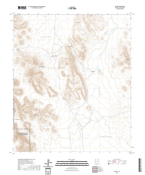
2021 Map of Pia Oik
USGS Topo · Published 2021About this map
The Barajita Valley and La Quituni Valley dominate this Pima County landscape, where desert washes define the movement of water and travel. Small settlements like Pia Oik, Siovi Shuatak, and Sweetwater are connected by Indian Rte 1 and Rte 1 BIA, reflecting the enduring human presence in this arid basin. The southwestern portion of the map includes a section of the Organ Pipe Cactus National Monument, where the terrain rises sharply into the Ajo Range.
Find a feature on this map
25 named features on this map. Tap any name to fly to it.
Don’t see what you’re looking for? This feature index may not catch every label — zoom into the map to look around manually.
Map Details
Editions of this 2021 Pia Oik Map
This is the sole edition of this map. No revisions or reprints were ever made.
Other maps of this area

1953 · Ajo
USGS Topo · 1:250,000

1954 · Sonoyta
USGS Topo · 1:250,000

1957 · Ajo
USGS Topo · 1:250,000

1958 · Ajo
USGS Topo · 1:250,000

1962 · Ajo
USGS Topo · 1:250,000

1963 · Ajo
USGS Topo · 1:250,000

1963 · Kom Vo
USGS Topo · 1:62,500

1963 · Mt. Ajo
USGS Topo · 1:62,500

1963 · Pisinimo
USGS Topo · 1:62,500

1963 · Lukeville
USGS Topo · 1:250,000
Featured Places
- Siovi Shuatak, Gu Vo District
- Pia Oik, Gu Vo District
- Sweetwater, Gu Vo District
- Gu Vo District, AZ
- Pima County, AZ