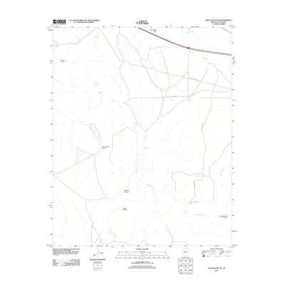
2011 Map of Picacho Butte
USGS Topo · Published 2011About this map
Picacho Butte stands as a primary landmark in this high-desert portion of Yavapai County, where the landscape is defined by deep drainages and numerous stock tanks. The distribution of features like the New Peter Lockett Tank and Peter Lockett Canyon suggests a history of cattle ranching and land use tied to specific families. Drainage systems such as Partridge Creek cut through the terrain, leading into distinct landforms like Butcher Knife Canyon and McIntyre Canyon. This 2011 survey records a network of rural roads with evocative names, including Old Antelope Run Rd and Rocky Rabbit Rd, which navigate the open country between water sources like Sullivan Tank and Tucker Spring. The reliance on these tanks and springs highlights the critical importance of water management in this arid environment.
Find a feature on this map
23 named features on this map. Tap any name to fly to it.
Don’t see what you’re looking for? This feature index may not catch every label — zoom into the map to look around manually.
Map Details
Editions of this 2011 Picacho Butte Map
This is the sole edition of this map. No revisions or reprints were ever made.
Other maps of this area
1886 · Chino
USGS Topo · 1:250,000
1891 · Chino
USGS Topo · 1:250,000
1947 · Picacho Butte
USGS Topo · 1:62,500
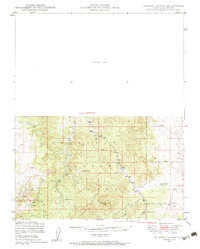
1947 · Turkey Canyon
USGS Topo · 1:62,500
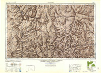
1948 · Williams
USGS Topo · 1:250,000
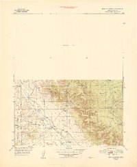
1948 · Picacho Butte
USGS Topo · 1:63,360
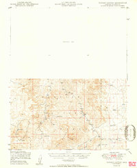
1950 · Turkey Canyon
USGS Topo · 1:62,500
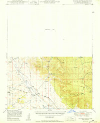
1950 · Picacho Butte
USGS Topo · 1:62,500
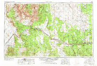
1954 · Williams
USGS Topo · 1:250,000
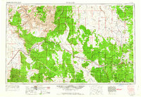
1956 · Williams
USGS Topo · 1:250,000