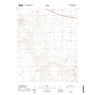
2018 Map of Picacho Butte
USGS Topo · Published 2018About this map
Picacho Butte rises as a prominent landmark in this high-desert portion of Yavapai County, where water management is the defining feature of the landscape. The terrain is etched by deep drainages like Peter Lockett Canyon and McIntyre Canyon, while the distribution of numerous man-made water catchments, such as Tom Lockett Tank and Dawson Tank, suggests a region heavily utilized for ranching. This 2018 survey reveals a network of modern rural access roads, including Old Antelope Run Rd and Falcon Flight Way, cutting through the traditional open range. Near the southern boundary, the seasonal flow of Partridge Cr and the presence of Tucker Spring provide rare natural water sources in a territory otherwise dominated by naming conventions that honor local ranching families and legacy livestock operations, exemplified by the Rafter M Bar Tank.
Find a feature on this map
41 named features on this map. Tap any name to fly to it.
Don’t see what you’re looking for? This feature index may not catch every label — zoom into the map to look around manually.
Map Details
Editions of this 2018 Picacho Butte Map
This is the sole edition of this map. No revisions or reprints were ever made.
Other maps of this area
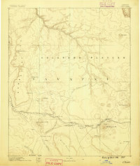
1886 · Chino
USGS Topo · 1:250,000
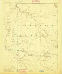
1891 · Chino
USGS Topo · 1:250,000
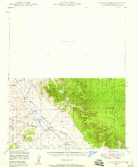
1947 · Picacho Butte
USGS Topo · 1:62,500
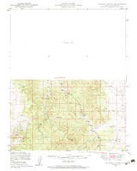
1947 · Turkey Canyon
USGS Topo · 1:62,500
1948 · Williams
USGS Topo · 1:250,000
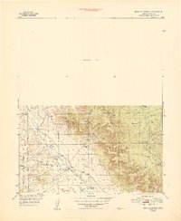
1948 · Picacho Butte
USGS Topo · 1:63,360
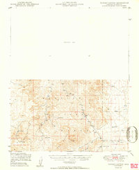
1950 · Turkey Canyon
USGS Topo · 1:62,500
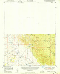
1950 · Picacho Butte
USGS Topo · 1:62,500
1954 · Williams
USGS Topo · 1:250,000
1956 · Williams
USGS Topo · 1:250,000