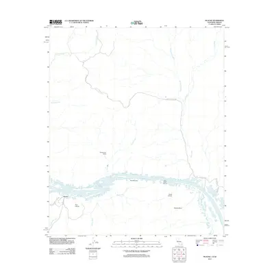
2012 Map of Picacho
USGS Topo · Published 2012About this map
The Colorado River defines the southern boundary of this arid landscape, winding through a complex network of geological formations near the settlement of Picacho. The river's path is marked by distinctive features such as Island Lake and Three Point Bend, while the surrounding terrain is etched by numerous seasonal drainages like Sortan Wash and Arrastra Wash. This area serves as a critical interface between civilian land and the northern reaches of the Yuma Proving Ground, where the desert's rugged character is preserved through military jurisdiction.
Find a feature on this map
23 named features on this map. Tap any name to fly to it.
Don’t see what you’re looking for? This feature index may not catch every label — zoom into the map to look around manually.
Map Details
Editions of this 2012 Picacho Map
This is the sole edition of this map. No revisions or reprints were ever made.
Other maps of this area

1903 · Yuma
USGS Topo · 1:125,000

1905 · Yuma
USGS Topo · 1:125,000

1929 · Laguna
USGS Topo · 1:62,500

1939 · Red Hill
USGS Topo · 1:62,500

1942 · Yuma
USGS Topo · 1:250,000

1942 · Blythe
USGS Topo · 1:250,000

1943 · Laguna
USGS Topo · 1:62,500

1945 · Picacho Peak
USGS Topo · 1:62,500

1945 · Picacho
USGS Topo · 1:62,500

1951 · Picacho
USGS Topo · 1:62,500