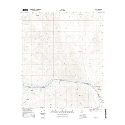
2015 Map of Picacho
USGS Topo · Published 2015About this map
The Colorado River defines the borderland of southeastern California and southwestern Arizona in this mid-2010s survey, carving through a landscape dominated by the Trigo Mountains. The river’s path is marked by sharp meanders such as Three Point Bend and Sleepers Bend, while its floodplain supports a network of backwaters including Island Lake, Red Rock Lake, and Clear Lake. This corridor, where the La Paz Co and Yuma Co lines meet Imperial Co, remains largely defined by its natural drainage systems like Yuma Wash and Red Cloud Wash.
Find a feature on this map
35 named features on this map. Tap any name to fly to it.
Don’t see what you’re looking for? This feature index may not catch every label — zoom into the map to look around manually.
Map Details
Editions of this 2015 Picacho Map
This is the sole edition of this map. No revisions or reprints were ever made.
Other maps of this area

1903 · Yuma
USGS Topo · 1:125,000

1905 · Yuma
USGS Topo · 1:125,000

1929 · Laguna
USGS Topo · 1:62,500

1939 · Red Hill
USGS Topo · 1:62,500

1942 · Yuma
USGS Topo · 1:250,000

1942 · Blythe
USGS Topo · 1:250,000

1943 · Laguna
USGS Topo · 1:62,500

1945 · Picacho Peak
USGS Topo · 1:62,500

1945 · Picacho
USGS Topo · 1:62,500

1951 · Picacho
USGS Topo · 1:62,500