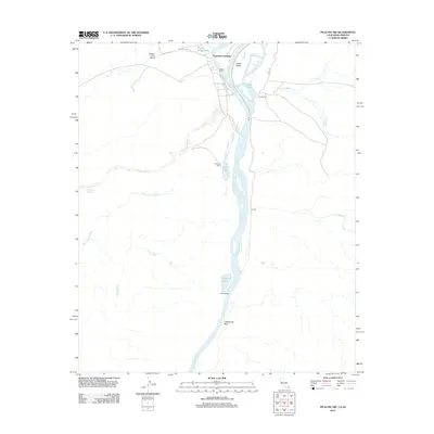
2012 Map of Picacho NW
USGS Topo · Published 2012About this map
Paymaster Landing and Walters Camp anchor this 2012 survey of the lower Colorado River basin, where the waterway meanders through the Cibola Valley on the California-Arizona border. The landscape is defined by the shifting dynamics of the river, with numerous side channels and oxbow features like Three Finger Lake, Cibola Lake, and Walker Lake punctuating the riparian corridor. The presence of several small outposts such as Cibola Camp, Gilmores Camp, and Draper Ranch suggests a region primarily focused on remote river access and seasonal recreation rather than dense settlement.
Find a feature on this map
25 named features on this map. Tap any name to fly to it.
Don’t see what you’re looking for? This feature index may not catch every label — zoom into the map to look around manually.
Map Details
Editions of this 2012 Picacho NW Map
This is the sole edition of this map. No revisions or reprints were ever made.
Other maps of this area

1942 · Blythe
USGS Topo · 1:250,000

1945 · Cibola
USGS Topo · 1:62,500

1945 · Picacho
USGS Topo · 1:62,500

1951 · Picacho
USGS Topo · 1:62,500

1951 · Cibola
USGS Topo · 1:62,500

1953 · Palo Verde Mountains
USGS Topo · 1:62,500

1953 · Quartz Peak
USGS Topo · 1:62,500

1954 · Salton Sea
USGS Topo · 1:250,000
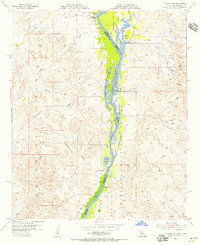
1954 · Picacho NW
USGS Topo · 1:24,000
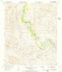
1954 · Picacho SW
USGS Topo · 1:24,000